


Záznam

Vysoce kvalitní výstupy zachycování reality začínají vysoce kvalitními daty získanými 3D skenováním. S řadou softwaru Leica Geosystems můžete svůj senzor připojit přímo k softwaru Cyclone FIELD 360. Okamžitě získáte správná data, registraci dat přímo v místě, možnost provádění kontroly kvality či dokonce přípravy půdorysů rovnou v terénu.

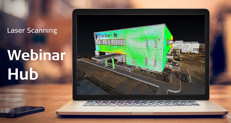
Cyclone FIELD 360
Leica Cyclone FIELD 360 is a mobile-device app that supports users in collecting the highest-quality reality capture data possible, starting with the point cloud registration process and enabling immediate deliverable creation. Connect your Leica sensors to get an instant preview of the point cloud data as it is captured and pre-align scans in the field to save time in the office. Record essential information like site videos and photos and tag them to points in the scene, and QA the data capture process by checking alignment and overlap. Further optimise your time in the field by rapidly creating room plans with the Quick Plan tool.

BLK Data Manager
The BLK Data Manager is a simple, free utility that allows users to download raw BLK scans for archiving and uploading. These files can be imported into Cyclone REGISTER family products to continue data processing immediately or in the future. BLK Data Manager files retain any in-field transformations, GeoTags and Quick Plans made using Cyclone FIELD 360.