


Software


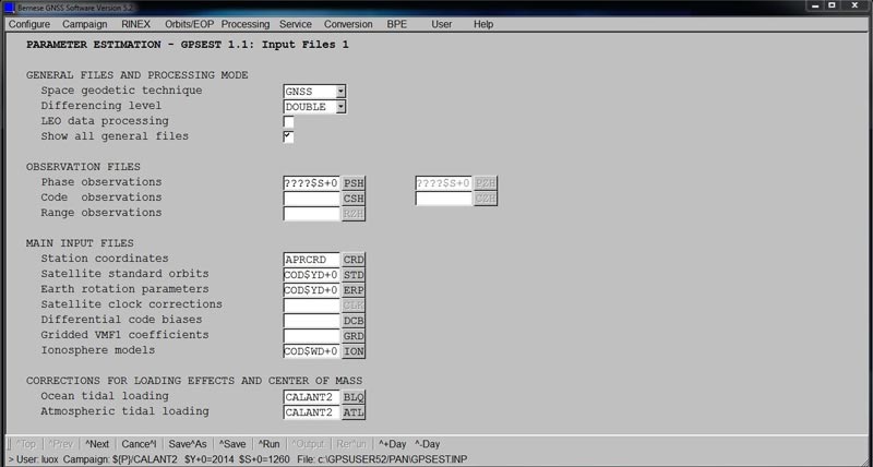
Bernese GNSS Software
GNSS software for the academic field.

Leica Captivate
Immersive 3D field software to capture and manage data.
Leica Infinity
Leica Infinity is the user-friendly geospatial office software for the measurement professionals. The surveying software is designed to manage, process, analyse and quality check all field survey measure data, including total stations, digital levels, GNSS and UAVs.
