


Reporter 81

President’s Message
My smartphone has become a constant companion. I check my work emails; I WhatsApp with my kids; I share updates on Twitter. When I look around at everyone else on their phones, I know I’m not alone in this. Recently, I read that as a global society, we are producing 2.5 quintillion bytes of data – daily. That’s a lot of information out there, but is it really information or just data? Without understanding, it’s the latter. Data only becomes information when we can use it smartly. Using smart data in a digitalised world is the focus for this edition of Reporter.
Data becomes information, is made smart, when we can see risks and take actions to prevent accidents. When new construction projects take place in the heart of major urban centres, monitoring of critical infrastructure then requires day-and-night observations. As the Regent’s Park Development in London sees the demolishment, excavation and construction of buildings, Murphy Surveys has merged several Geosystems technologies to keep a close eye on surrounding structures. With the sensors collecting all possible data and monitoring software processing the large quantities the full-service surveying and monitoring firm is constantly updated and in the know if any possible deformations or unacceptable movements occur.
An image becomes smart and informative when we can see the whole picture. In creating Smart Cities, this means getting the foundation right by capturing every building, every tree, every infrastructure. In creating 3D city models, vast amounts of data must be collected and then processed intelligently, efficiently and effectively. When mapping dense urban populations in the United States and France, Fugro and APEI, respectively, used Geosystems airborne sensors and workflow software. These solutions ensured smart and manageable data could be used to build digital cities for smart city planning.
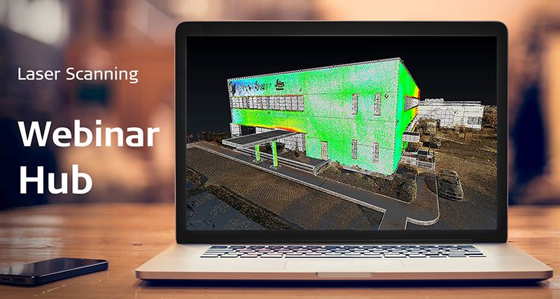
Point clouds are only raw data until we’re able to move within them and understand what they show beyond the points. In the Architecture, Engineering and Construction (AEC) industry, as-built surveys can prevent expensive rework by identifying any mistakes early in the design to construction phase. When Maxwell Construction Company in the USA used its new BLK360 imaging laser scanner on a restaurant construction project, the firm was able to collect up to 10 times the amount of data in half the time it would have taken using manual methods. With the collected data processed in AutoCAD, Maxwell Construction quickly corrected misplaced pipes before concrete was poured for significant cost and time savings.
In our digitalised world, big data is no longer the focus. The evolution to smart data is how businesses will grow and advance. We are committed to bringing not just more data but smart information to our customers and the industries they support.
Enjoy your read.

Juergen Dold
President, Hexagon Geosystems
Read our customer stories here:

Mapping the rockfall source and deposit areas in the Alps
Creating a historical database of the Alpine rockfalls with Leica Geosystems GIS Collectors and Smart Antennas

A complete new view of Stonehenge’s landscape
Creating a new digital map of Britain’s most important archaeological monuments using a high-tech approach.

Speeding up with mobile mapping
Saving time on a highway survey in England

Protecting the Netherlands against floods with mobile mapping technology
High-quality reality capture in short amount of time before the river water level raises

Leica Geosystems laser scanners and Hexagon PPM 3D design software access ‘true reality’
Hexagon PPM 3D design software helps Leica Geosystems laser scanners access ‘true reality’

New dredging sensors at work in Port of Esbjerg
Improving dredging operations for underwater applications

Extension of the Liuzhou to Nanning Highway
The 193 kilometre highway between the two major cities will be reconstructed and extended from four lanes into eight lanes.

Monitoring above and below ground in London's heart
Providing a mix of mix of laser scanning techniques, topographic surveying to ensure safety in the heart of London

A new era of airborne city mapping
Conducting aerial surveys over US and France

Anticipating the ice avalanche with radar data
Interferometric radar for safety in critical ice avalanche monitoring in Switzerland

Construction documentation with point clouds
Performing building construction as-builts in the USA

Digitally managing power plant assets
Measuring plant generators in a safer, easier and more accurate way

Shaping smart mining change in the Andes
Documenting mining success in video

Enhancing Global Aviation Safety with Micro Pulse LiDAR
Monitoring Volcanic Ash Provides Early Warnings of Hazardous Atmospheric Conditions

Multivista launches new website, enhances customer experience
Enhancing customer experiences online

Transformation through Digitalisation
Juergen Dold, Hexagon Geosystems President, presented Perceptality at INTERGEO 2017

Leica GS18 T, in your words
For the first time ever, surveyors can measure where others can't and #ForgetTheBubble

Measuring GNSS accuracy using SAPOS RTK network
Testing for the first time the achievable accuracy of SAPOS HEPS (Network-RTK) using Leica Geosystems GNSS equipment

Contributors
Meet our Reporter 81 writers

Around the world
Share with us how you are solving complex daily challenges using Leica Geosystems equipment.
Share with us how you are solving complex daily challenges using Leica Geosystems equipment.

Reporter subscription
Receive the latest updates about Reporter magazine.
Receive the latest updates about Reporter magazine.

Contact Leica Geosystems
Find your Leica Geosystems contact for sales, support and technical service.
Find your Leica Geosystems contact for sales, support and technical service.