


Reporter 85
Customer magazine – December 2018

President’s Message
At Hexagon, we centre on digital solutions that create Autonomous Connected Ecosystems (ACE), a state where data is connected seamlessly through the convergence of the physical world with the digital, and intelligence is built-in to all processes. The power of an ACE is the ability to adapt to changing needs, enabling organisations to self-optimise performance, autonomously running entire processes by learning form new conditions in real or near real-time.
The foundation for an ACE is a smart digital reality - a fully immersive, contextual, digital experience where 3D digital twins are augmented with real-time applications to become 4D. This edition of Reporter explores what it means to operate in a smart digital reality.
When constructing massive ships, updates made underway and in real-time decrease the amount of time spent in dry dock. With the help of NautiSCAN3D, a company specialising in 3D modelling and measurements, a passenger cruise liner crossing the Bay of Biscay was scanned and processed with Geosystems laser scanners and software to help architects check for production clashes and plan retrofit of the scrubber system. All needed data was collected in only five hours and processed within two days, saving time and eliminating surprises during the next dry dock.
In a rail environment, knowing what lies beneath the tracks increases safety and efficiency. With a smart digital reality, potential hazards underground become just as visible as those above ground. Fischerscan, a service provider of non-destructive testing for building structures and location and positioning of underground pipelines and supply lines, used Geosystems ground penetrating radar (GPR) hardware and software to identify hazards, such as World War II ammunitions, under the rail tracks of Niederhalden’s train station in Germany. Checking the data in real-time in more than 30 locations, the task was completed in just two days.
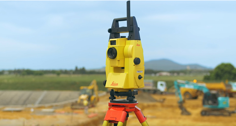
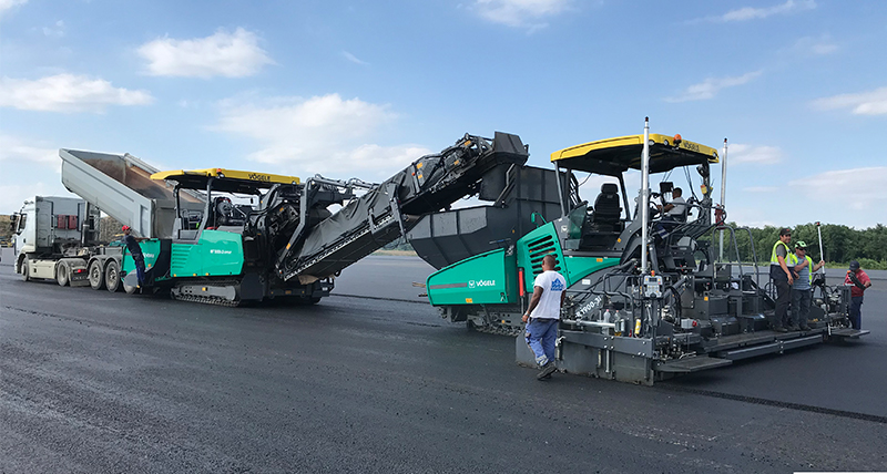
Heavy construction road projects typically follow a prescribed process – earthworks, to curb and gutter, to paving. When Aclagro, a company specialising in infrastructure construction, was contract-ed for a road ramp building project in Belgium, it decided to automate its concrete slipform paving machine with Geosystems machine control technology. With the project data inputted and real-time sharing of machine-to-machine information enabled, the contractors were able to complete millimetre-accurate construction while reducing time on site.
We hope you enjoy reading about these and other examples of how businesses are leveraging Smart digital realities to fuel unlimited possibilities for growth.
Thanks for your time.

Juergen Dold
President, Hexagon Geosystems
Read our customer stories here:
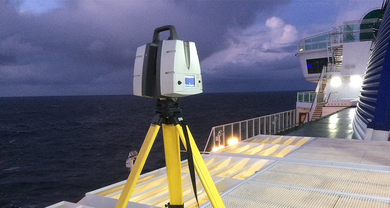
Plain sailing with 3D plant design
Laser scanning to retrofit the scrubber system of a 288-metre length cruise ship in international waters

Revealing rail’s underground with detection radar
Detecting metal objects underneath a rail track with Ground Penetrating Radar in Germany

Mapping Finland’s ocean floor
Choosing the best method for hydrographic surveys in Finland

Digitalising the Spanish Royal Palace with laser scanning
Millimetre-accurate 3D model of the Spanish Royal Palace made possible with Leica Geosystems’ ground-breaking technology

Connecting Denmark with machine control
Building a motorway between Herning and Holstebro in Denmark with machine control

WD Partners achieves breakthrough in AEC as-builts with fast, agile and precise laser scanning
Achieving 60 per cent time savings in AEC projects with laser scanning solutions

How Johnson's County is recreating crime scenes with laser scanning
Crime scene supervisor from Johnson's County Sheriff Office in Kansas, USA, explains the benefits of using Leica Geosystems laser scanning technology
Synchronising workflows with machine control
Increasing the efficiency of demolition work with Leica Geosystems’ machine control solutions in Australia
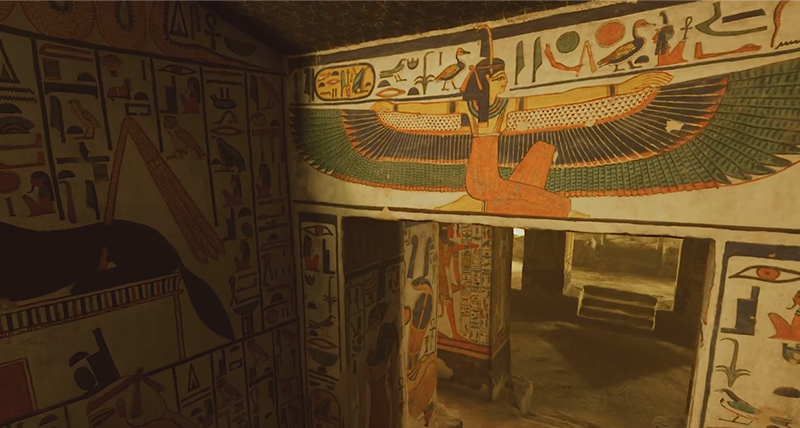
Capturing Egypt’s Sistine Chapel with the BLK360
3D laser scanning of Nefertari´s tomb to safeguard cultural heritage in Egypt
Introducing the newest generation of manual total stations
Several decades on the market. Many lessons learned. Lots of happy customers.
Changing the game for public safety professionals with the world’s fastest laser scanner
Advancing 3D laser scanning for public safety professionals with the Leica RTC360 3D Reality Capture Solution

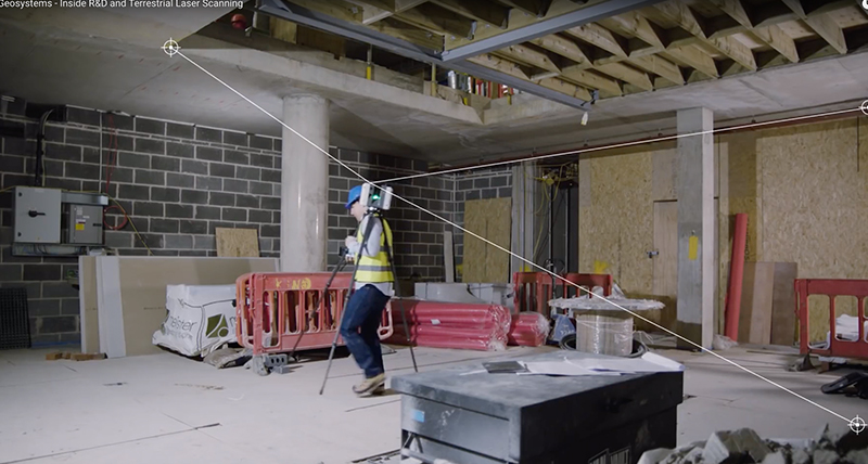
Embracing new technologies at Hinkley Point C
The next generation of surveyors and geospatial professionals adopt the newest technology on a major construction project

Scanning from a safe distance
Increasing safety without sacrificing accuracy with the new Leica ScanStation P50, with quality results from up to 1 kilometre away

Stream C – a game changer in the detection industry
Improving the efficiency and enabling new applications with Ground Penetrating Radar
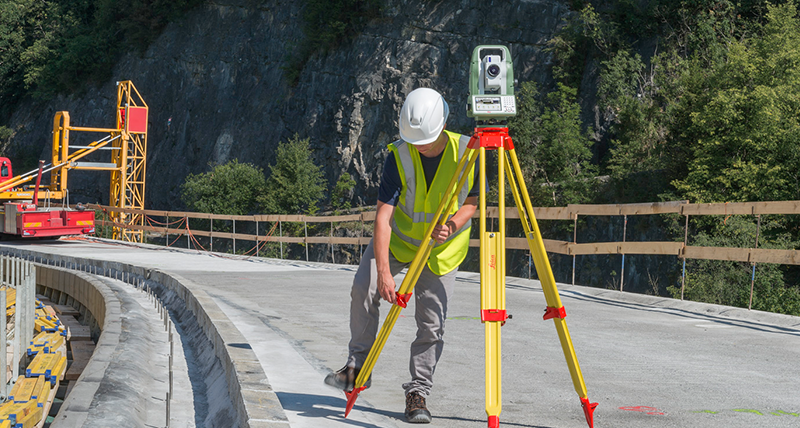
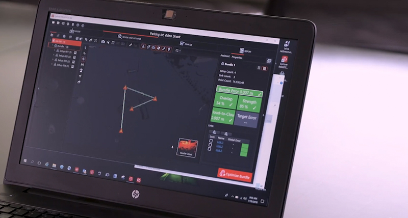
From hardware to software - inside Geosystems’ reality capture solutions
Experts explain how the productivity of the hardware, combined with software solutions, can boost the efficiency both in field and in the office
Integrating Reality Capture - Multivista & BLK360
Partnering to create innovative solutions for the AEC market

Seeing Beneath to Move Forward
Experts discuss how utility locators automatically identify underground assets deeper, faster, and more accurately
Around the World
Customers across the globe solving complex daily challenges using Leica Geosystems equipment

Contributors
Meet our Reporter 85 writers
Around the world
Customers across the globe solving complex daily challenges using Leica Geosystems equipment
Customers across the globe solving complex daily challenges using Leica Geosystems equipment

Our Latest News
Find out about the latest happenings with Leica Geosystems brands.
Find out about the latest happenings with Leica Geosystems brands.

Contact Leica Geosystems
Want to learn more? We're here to answer your questions.
Want to learn more? We're here to answer your questions.