


Administración de la tierra / catastro


Leica RealCity
Urban mapping solution for smart city applications.
Urban mapping solution for smart city applications.

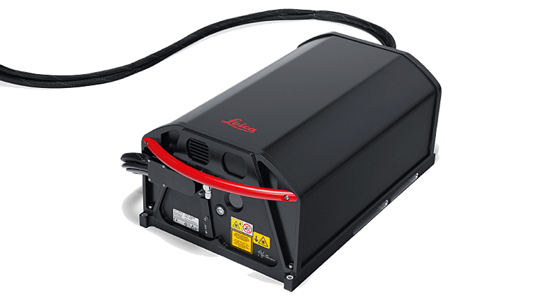
Leica SPL100
El fotón individual LiDAR alcanza la máxima eficiencia en grandes espacios.
El fotón individual LiDAR alcanza la máxima eficiencia en grandes espacios.

Leica CityMapper-2
The first hybrid solution integrating oblique imaging and LiDAR into a single system, purpose-built for efficient urban data capture.
The first hybrid solution integrating oblique imaging and LiDAR into a single system, purpose-built for efficient urban data capture.

Leica DMCIII
Airborne imaging sensor with world’s largest single frame.
Airborne imaging sensor with world’s largest single frame.

Leica HxMap
High-performance post-processing workflow for airborne sensors.
High-performance post-processing workflow for airborne sensors.

Leica ADS100
Airborne sensor increasing image quality, saving flight time.
Airborne sensor increasing image quality, saving flight time.
Leica ALS80
Airborne topographic LiDAR sensor for large area and corridor mapping.
Airborne topographic LiDAR sensor for large area and corridor mapping.

Hexagon Imagery Program
Servicio profesional de proceso de imágenes de sensores aerotransportados.
Servicio profesional de proceso de imágenes de sensores aerotransportados.

HxGN SmartNet – Satellitenpositionierung
Mit Zugriff auf präzise Korrekturdaten erleben Netzwerk-RTK-Nutzer beste Verfügbarkeit, Zuverlässigkeit und Rückverfolgbarkeit dank anerkannter Standards.
Mit Zugriff auf präzise Korrekturdaten erleben Netzwerk-RTK-Nutzer beste Verfügbarkeit, Zuverlässigkeit und Rückverfolgbarkeit dank anerkannter Standards.

Leica Zeno 20
Colector de datos portátil GIS (Android) con un GPS de alta precisión.
Colector de datos portátil GIS (Android) con un GPS de alta precisión.