


Generación de informes

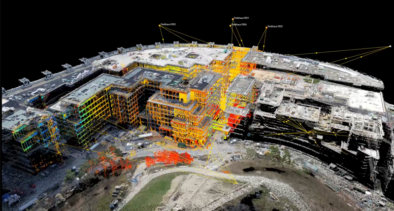
Leica Infinity
Software per ufficio intuitivo per gestire ed elaborare i dati del rilievo.
Software per ufficio intuitivo per gestire ed elaborare i dati del rilievo.
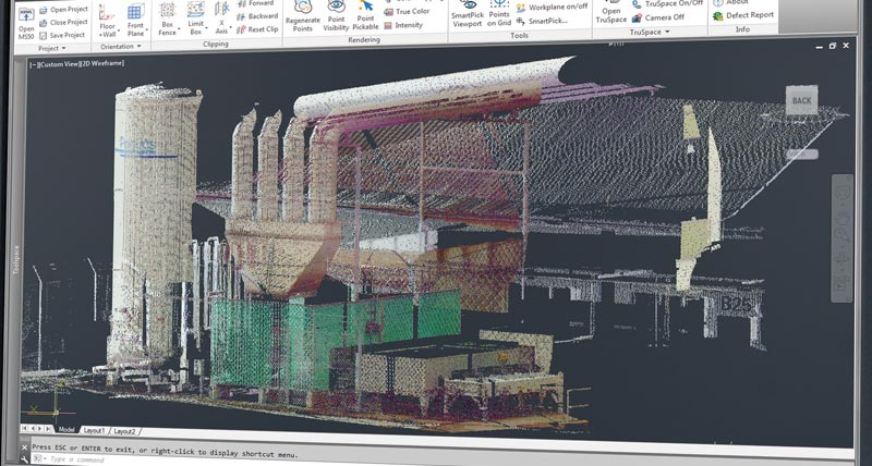
Leica MultiWorx para AutoCAD
Software AutoCAD para procesar los datos escaneados en MultiStation.
Software AutoCAD para procesar los datos escaneados en MultiStation.

LISCAD
LISCAD es un software especialmente orientado a Ingenieros y Topógrafos.
LISCAD es un software especialmente orientado a Ingenieros y Topógrafos.

MicroSurvey Software for land surveying
CAD drafting, least squares adjustment, and field mapping.
CAD drafting, least squares adjustment, and field mapping.