


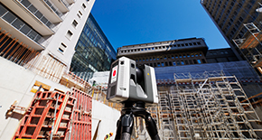


Cartographie de lignes électriques

Leica ALS80
Airborne topographic LiDAR sensor for large area and corridor mapping.
Airborne topographic LiDAR sensor for large area and corridor mapping.

Aibot X6
UAV hexacopter designed to fulfil surveying needs.
UAV hexacopter designed to fulfil surveying needs.

Leica Zeno 20
GIS handheld data collector (Android) with high-accuracy GPS.
GIS handheld data collector (Android) with high-accuracy GPS.