


Etude sur l'impacte environnemental


Leica Zeno 20
GIS handheld data collector (Android) with high-accuracy GPS.
GIS handheld data collector (Android) with high-accuracy GPS.

Leica Zeno 5
Rugged entry-level GIS handheld with phone capabilities.
Rugged entry-level GIS handheld with phone capabilities.

Leica Zeno Mobile
Bring You Own Device (BYOD) data capture for Android phones and tablets.
Bring You Own Device (BYOD) data capture for Android phones and tablets.
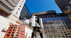
Leica ALS80
Airborne topographic LiDAR sensor for large area and corridor mapping.
Airborne topographic LiDAR sensor for large area and corridor mapping.


Aibot X6
UAV hexacopter designed to fulfil surveying needs.
UAV hexacopter designed to fulfil surveying needs.