


Utilities

Smart antenna enhances accuracy in GIS utility mapping
How Belgium’s PIDPA integrates the Leica Zeno GG04 plus to collect GIS data of large-scale water infrastructure.

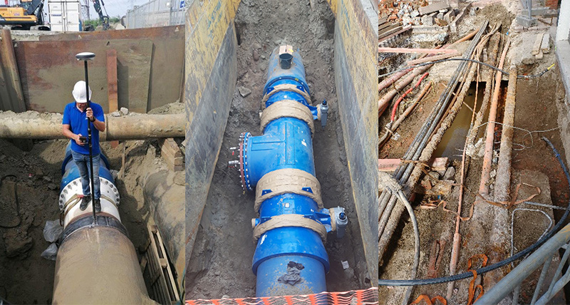
GPR for Underground Truth Brings Business Benefits
Expanding and maintaining Singapore’s vast and complex underground infrastructure safely and with minimal disruption is a large undertaking, but one that HSC Pipeline Engineering (HSC) is dedicated to as a leading contractor for public and private utilities companies in Singapore.
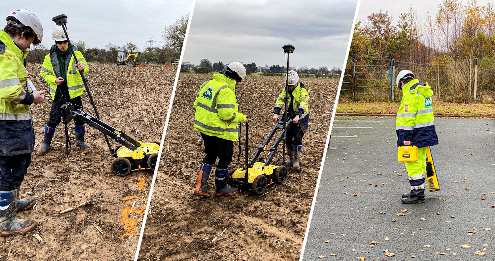
Pre site detection to establish exiting utilities
These days there are more and more utilities in the ground and many of them are not at the correct depth. The DSX is a valuable addition to JWC and provides them and their clients with detailed information regarding what passes through their sites.

Ground Penetrating Radar for everyone with Leica DSX
The newly-announced Leica DSX utility detection solution is about to democratise GPR technology, bringing it to less experienced users
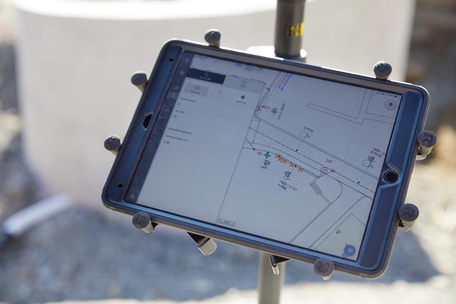
Providing mobile access to GIS utility plan
The Electricity Plant of the Canton of Zurich (EKZ), one of the largest Swiss energy supply companies, developed an innovative app that simplifies measurements and allows each field technician to visualise the collected information on the tablet directly on site.
Ground Penetrating Radar for everyone with Leica DSX
The newly-announced Leica DSX utility detection solution is about to democratise GPR technology, bringing it to less experienced users
Ground Penetrating Radar for everyone with Leica DSX
The newly-announced Leica DSX utility detection solution is about to democratise GPR technology, bringing it to less experienced users
Ground Penetrating Radar for everyone with Leica DSX
The newly-announced Leica DSX utility detection solution is about to democratise GPR technology, bringing it to less experienced users
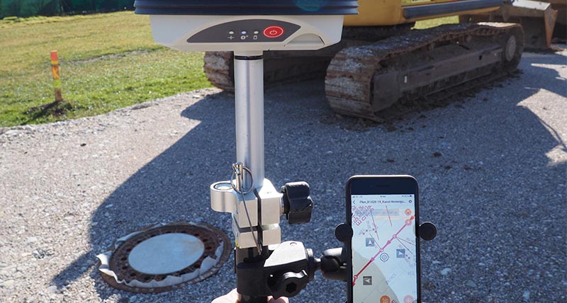
Navigating sites with GNSS paperless plans
From paper to digital blueprints to navigate construction sites supported by Leica GG04 plus and SitePlan

Where is the line? Augmented perception of utilities with AR and GNSS
Using Augmented Reality and GNSS to visualise and position utilities with survey-grade accuracy to maintain an electricity and natural gas network in Austria

Like Superman - Seeing through walls and concrete structures
Detecting and analysing the upper apron of the Barthe dam in Brommat, France

Advances in Brazilian water management
Asset collection solutions bring efficiency to water resources

Advances in Jordanian electricity management
Asset collection solutions bring efficiency to electricity resources

Lana shines with efficiency
Asset collection solutions bring efficiency to electricity resources

Leica Geosystems へのお問い合わせ
販売、サポートおよび 技術サービスについてのお問い合わせ先はこちらからご覧いただけます。
販売、サポートおよび 技術サービスについてのお問い合わせ先はこちらからご覧いただけます。