


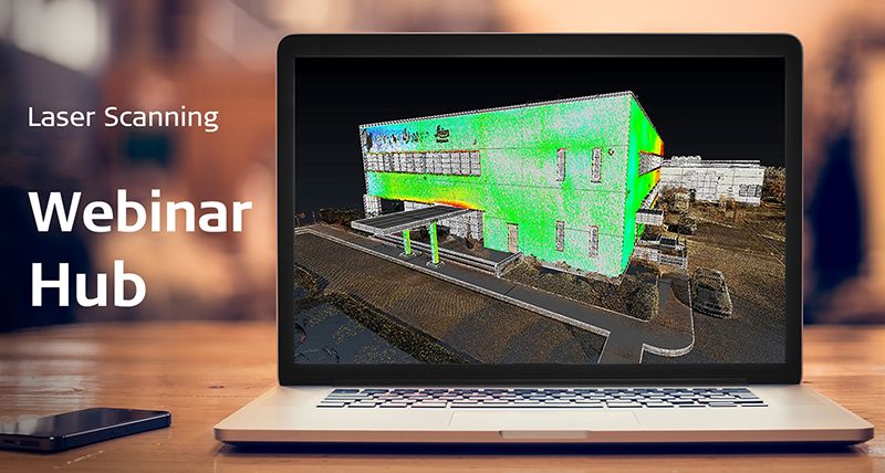


As-Built Survey


Leica SiRoadScan
Leica SiRoadScan is a complete software package providing extraction and analysis of 3-D laser scan data for the highway and roads industry.
Leica SiRoadScan is a complete software package providing extraction and analysis of 3-D laser scan data for the highway and roads industry.

Leica Viva TS16
Self-learning, survey-grade total station for all conditions.
Self-learning, survey-grade total station for all conditions.

Leica Captivate
Immersive 3D field software to capture and manage data.
Immersive 3D field software to capture and manage data.

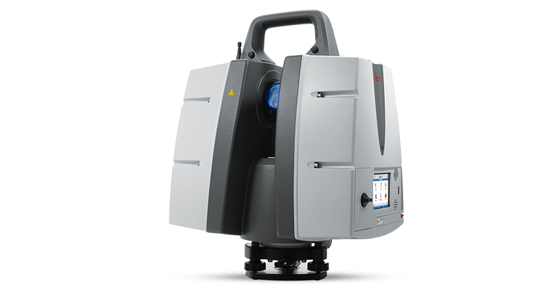
Leica Nova MS60
The world’s first self-learning MultiStation automatically adjusts to any environment, regardless of the challenges.
The world’s first self-learning MultiStation automatically adjusts to any environment, regardless of the challenges.

Leica GS18 T
Introducing the world’s fastest GNSS RTK rover with true tilt compensation - immune to magnetic disturbances and calibration-free.
Introducing the world’s fastest GNSS RTK rover with true tilt compensation - immune to magnetic disturbances and calibration-free.

Leica ProScan
Mobile platform to increase your laser scanning productivity.
Mobile platform to increase your laser scanning productivity.

UAV Systems
Intelligent aerial mapping solution for surveying and construction.
Intelligent aerial mapping solution for surveying and construction.

Leica Rail:Factory & ATrack
Leica Rail:Factory & ATrack Rail assessment software for Mobile Mapping Sensors
Leica Rail:Factory & ATrack Rail assessment software for Mobile Mapping Sensors
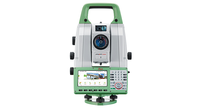
Leica Nova TS60 - World's most accurate total station
Highest accuracy and advanced performance for surveying applications across industries.
Highest accuracy and advanced performance for surveying applications across industries.