


データ処理ソフトウェア


Leica Infinity
Leica Infinity は測量の専門家向けに地理空間データを処理する使いやすいオフィス用ソフトです。トータルステーション、デジタルレベル、GNSS、UAVなど全ての測量データを管理・処理し、分析を行い、品質をチェックできるように設計されています。
Leica Infinity は測量の専門家向けに地理空間データを処理する使いやすいオフィス用ソフトです。トータルステーション、デジタルレベル、GNSS、UAVなど全ての測量データを管理・処理し、分析を行い、品質をチェックできるように設計されています。
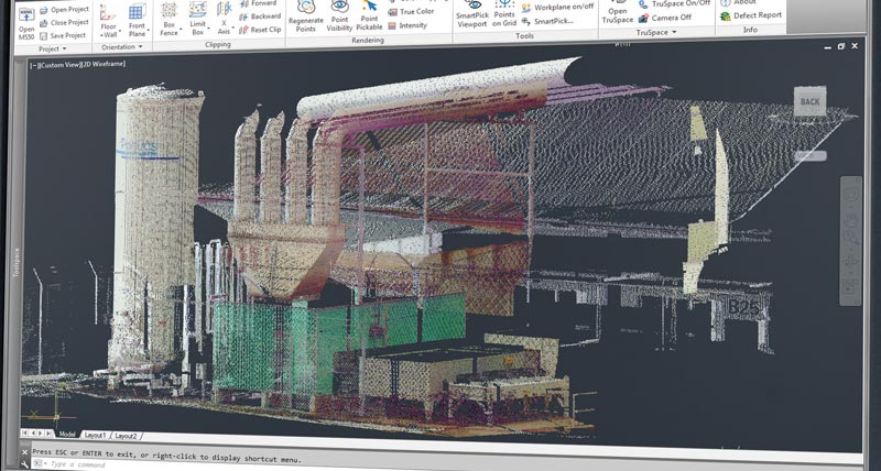
Leica MultiWorx for AutoCAD
AutoCAD software to process MultiStation scanning data.
AutoCAD software to process MultiStation scanning data.

MicroSurvey Software for land surveying
CAD drafting, least squares adjustment, and field mapping.
CAD drafting, least squares adjustment, and field mapping.
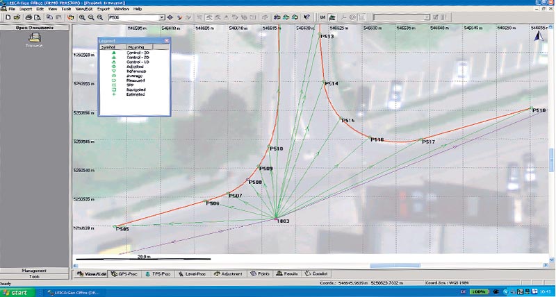
Leica Geo Office
Powerful office software to manage and process survey data.
Powerful office software to manage and process survey data.

LISCAD
Surveying and engineering office software for field to finish.
Surveying and engineering office software for field to finish.