


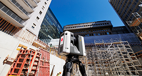


Reality Capture

Using UAV for bridge inspection
By creating highly precise data for bridge inspections, AiviewGroup is getting ahead in surveying, maintaining and inspecting.
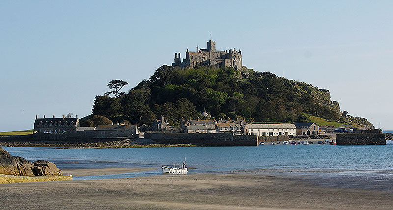
How to measure an island
Using the UAV by Leica Geosystems, Atlantic Geomatics surveyed a cultural heritage site using a new workflow.
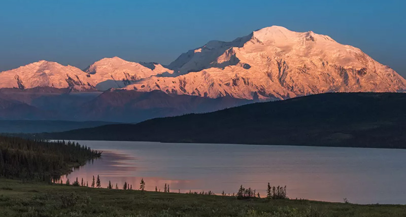
NCALM Exploits Short Flight Windows to Map Rugged Alaska Landscape with Leica TerrainMapper-2
A major landslide triggered by rapid warming in Denali National Park and Preserve forced restrictions at the halfway point of the park road in 2021, significantly reducing access to Alaska’s most popular tourist destination.

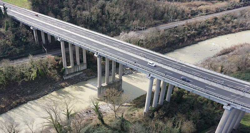
Capturing Fast and Accurate Data for Highways England Area

Mapping the last frontier
Measuring the depths of lakes in Alaska with the Chiroptera.

Exploring the surface below water
Exploring shallow water environments for new markets.

Revolution in motion
Safely surveying a busy roadway with the Pegasus:Two.

라이카지오시스템 고객 지원에 문의하기
라이카지오시스템즈의 영업, 지원 및 기술 서비스팀 연락처를 찾아보세요.
라이카지오시스템즈의 영업, 지원 및 기술 서비스팀 연락처를 찾아보세요.