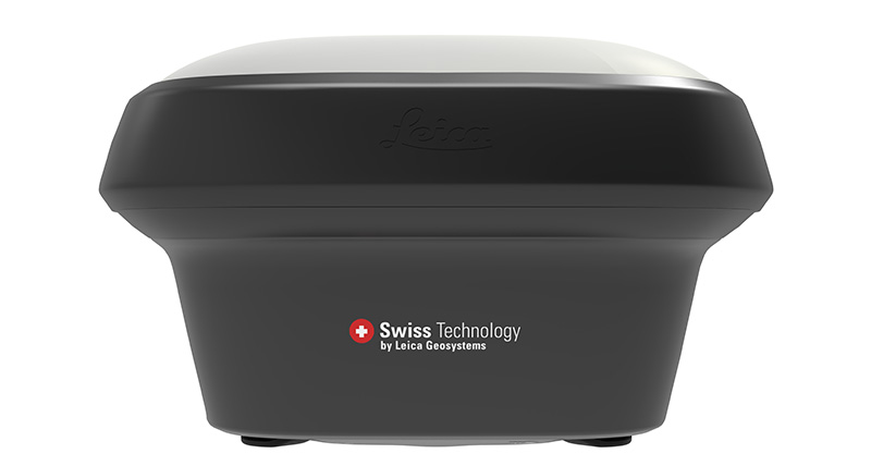
라이카 GS18 GNSS RTK 이동국
귀사의 비즈니스와 함께 성장하는 GNSS 스마트안테나

라이카 GS18은 자가학습 GNSS 스마트안테나입니다. GS18에는 틸트 보정 기능을 제외한 라이카 GS18 T 의 모든 기능이 탑재되어 있습니다. 그러나 GS18은 귀사와 비즈니스와 함께 성장합니다: 언제든지 틸트 보정 시스템으로 업그레이드하십시오.
GS18은 주로 HxGN SmartNet과 같은 네트워크 RTK를 사용하는 측량사에게 적합한 훌륭한 장비입니다. 대부분의 라이카 지오시스템즈 GNSS 스마트안테나와 마찬가지로, GS18은 이동국 및 기준국으로 작동합니다.
TILT COMPENSATION UPGRADE
Whenever you need the efficiency and safety improvements gained from tilted measurements, upgrade your GS18 to a tilt compensating rover. Any Leica Geosystems service can do the upgrade at any time.
ENGAGING SOFTWARE
The Leica Captivate field software is the perfect companion for the GS18. With easy-to-use apps, all measured and design data can be viewed and used, providing you with a clear understanding of your data in 2D and 3D view. Captivate spans industries and applications with little more than a simple tap, regardless of whether you work with GNSS, total stations or both.
IMPROVED PERFORMANCE
Multipath reduction and interference mitigation options in Captivate boost GNSS signal tracking quality under harsh environments, which improves RTK availability and accuracy. Also, an interference toolkit will enable filtering to remove in- and out-of-band distortions for even more robust GNSS signal tracking.
4G LTE & EXCELLENT MEASUREMENT QUALITY
Tracking multi-frequency signals comes as a standard to all Leica Geosystems GS sensors. Combined with an excellent GNSS antenna element and a position update rate of 20 Hz, the GS18 ensures reliable measurement quality.
INTERNAL MEMORY
Users with any GS18 model have the flexibility to log raw data into an SD card or the internal memory.
ACTIVE CUSTOMER CARE
Through Active Customer Care (ACC), a global network of experienced professionals is only a click away to guide you through any challenge. Control your costs with a Customer Care Package (CCP) which gives you peace of mind you are covered anywhere, anytime.
제품 사양서
라이카 Viva GS16 스마트안테나 제품사양서
아티클
갈릴레오 위성이 고정밀 RTK에 주는 장점 (GPS World magazine 내용 , August 2017년 8월 내용)
Conformity declaration
라이카 Viva GS16 스마트안테나 CE conformity declaration
White papers
Leica Viva series white paper BeiDou integration
Leica Viva series white paper RTK positioning
라이카 Infinity
HxGN SmartNet
HxGN SmartNet은 전세계 4000개가 넘는 기준국의 믿을 수 있는 GNSS 데이터를 제공합니다.
HxGN SmartNet은 전세계 4000개가 넘는 기준국의 믿을 수 있는 GNSS 데이터를 제공합니다.


