Battle of the Blades: 3D machine control vs manual grading on a 25 km motorway
Side-by-side test shows 3D machine control delivers speed, precision, and cost control where manual grading falls short on a 25 km motorway project in Romania.

Author: Reka Vasszi
When you’re tasked with preparing ~25 kilometres of motorway subgrade and every extra centimetre of cut comes out of your own pocket, there’s no room for “close enough.” That’s exactly the challenge faced by Total NSA AG Construct SRL on the Sibiu–Făgăraș motorway project across the picturesque Transylvania Mountain range in Romania. Their mission? Strip 0.4 metres of green material and hit the design grade perfectly — no more, no less.
“It’s a lump sum contract,” explains Vasile Seicean, surveyor at Total NSA AG Construct SRL. “If we dig too deep, we’re not getting paid for the extra. If we don’t dig enough, we have to redo it. Either way, we lose.”
So how do you take the guesswork out of grading? You bring in the big guns — or in this case, a Caterpillar D5 fitted with Leica Geosystems’ 3D dozer machine control system, delivered and supported locally by GuideTech, the authorised Leica Geosystems distributor in Romania.
3D control that works smarter (so you don’t have to work harder)
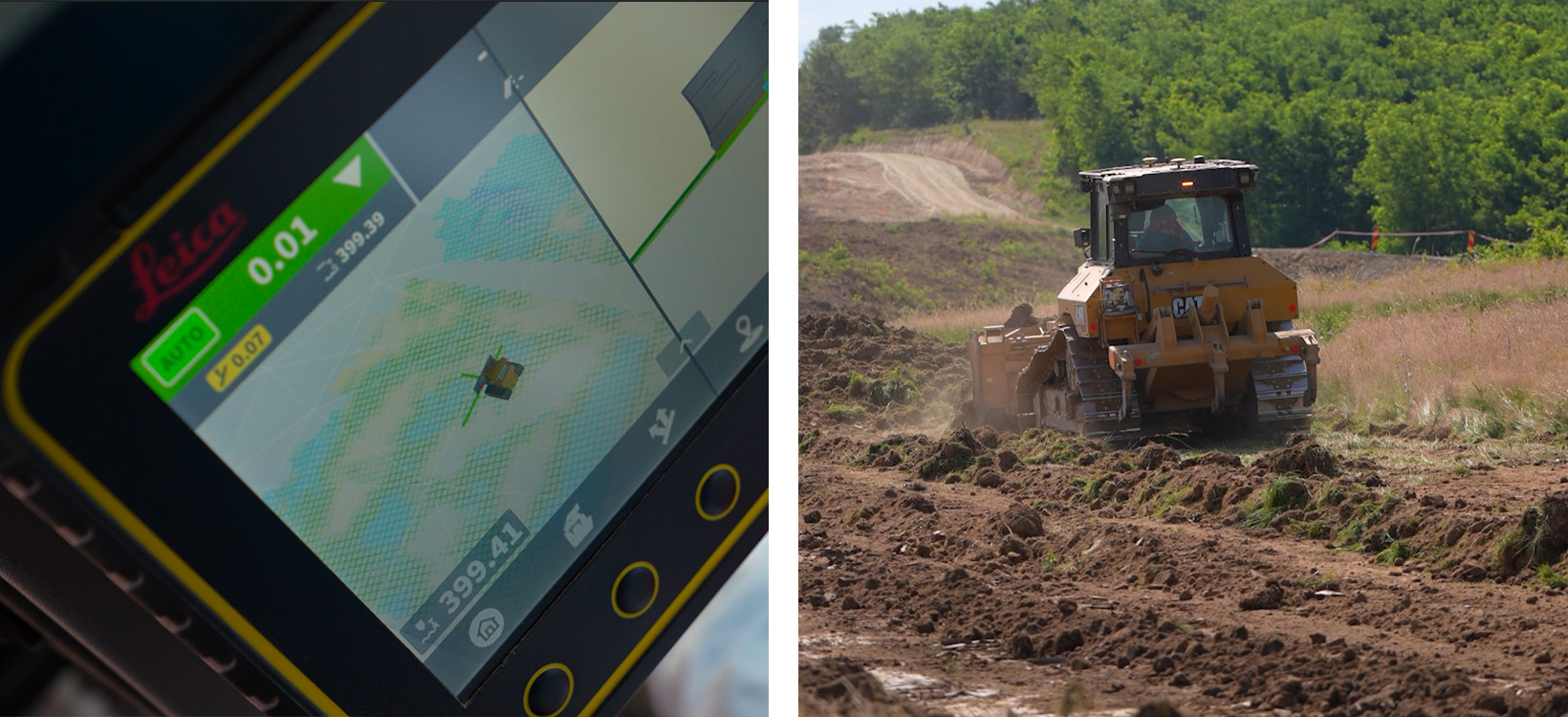
Leica’s dual GNSS antenna setup doesn’t just track the machine’s position — it guides the blade in real time, with millimetre-grade accuracy. The design model gets uploaded to the Leica ConX platform, the operator jumps in the cab, selects the project, and… that’s it. No stakes. No guesswork. Just press "Go."
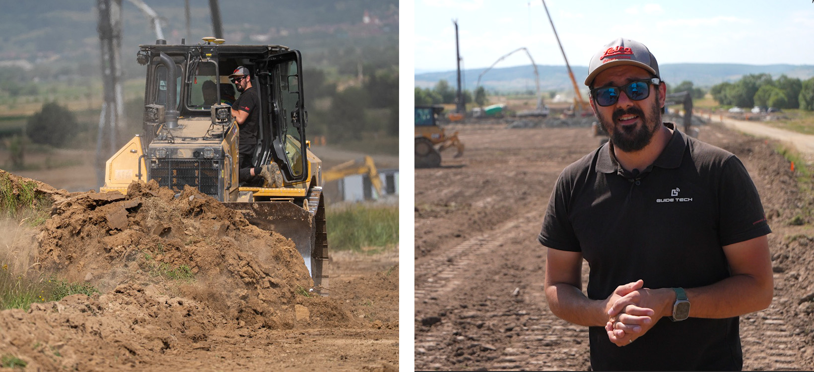
“We gave the system a tricky patch of terrain to really see what it could do,” said Sebastian Chetan, Technical Director at GuideTech. “The machine handled it in automatic mode like a pro — cutting in 5 cm layers, four passes total, to reach exactly 40 cm. And the surface came out textbook flat.”
Hasiu Dumitru, one of the operators on-site, shared his experience: "It’s like having a GPS-guided superhero in the cab. I could concentrate on the job without worrying about whether I was maintaining the correct depth."
Meanwhile, everything the machine does — from elevation points to blade paths — is recorded and uploaded to Leica ConX in real time, so the team back at the office knows exactly what’s happening without stepping foot on-site.
Traditional vs. machine control
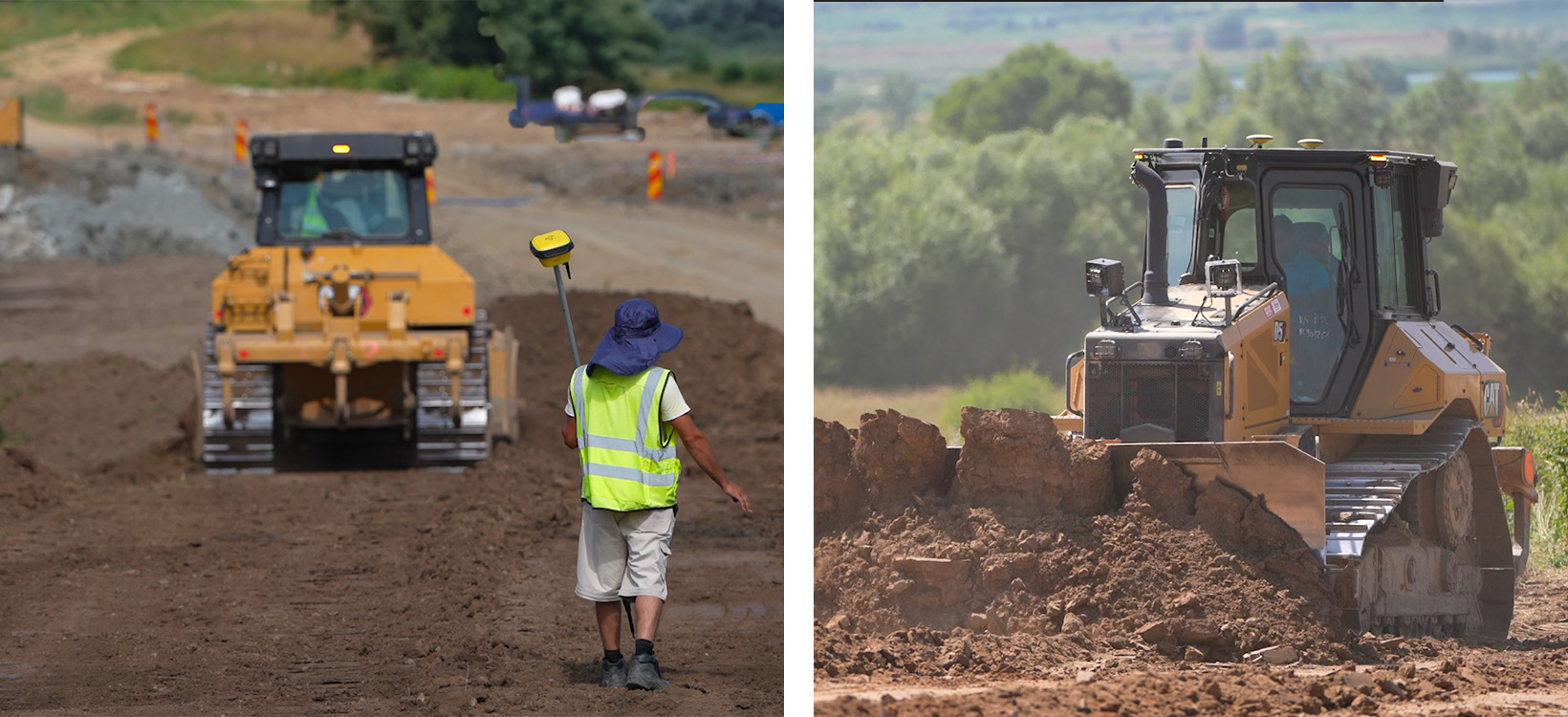
To put the system to the test, Total NSA ran two identical dozers:
- One with Leica MC1 3D machine control.
- One the old-fashioned way — engineer on-site, wooden stakes, and a very experienced operator.
The results? Let’s just say, the numbers speak louder than the backup beeper.
“The Leica Geosystems’ machine control system lets even less experienced operators produce grade-perfect work,” added Seicean. “One of them said, ‘Even a kid could run this!’...and honestly, they weren’t wrong.”
Less fuss, more focus thanks to Leica ConX
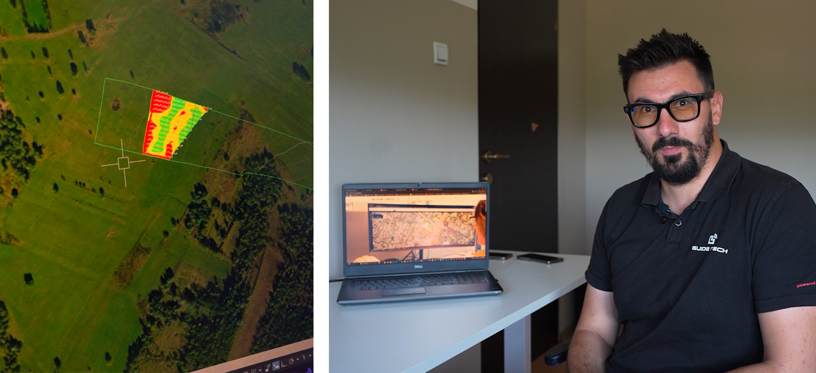
Back in the office (or from anywhere with internet), site managers log into Leica ConX and monitor everything the machine’s doing: live position, surface checks, design comparisons — you name it.
“We ran a topo comparison using the exported LandXML,” shared Chetan. “In the section graded manually, we saw areas overcut by 30 cm. In the machine control equipped section, everything was tight — most points within ±2 cm.”
And when it’s time to update the model or push a new project? Upload it remotely through ConX — no USB sticks, no climbing into cabs, and no lost files.
A trusted partnership with GuideTech
GuideTech, the local distributor for Leica Geosystems, has played a key role in supporting Total NSA AG Construct SRL throughout the project. Their technical expertise and responsive service have ensured the seamless integration of machine control technology into the client’s workflow.
Hasiu Dumitru expressed his appreciation: "The GuideTech team was always available to answer our questions. Their support made the transition to using this technology stress-free and straightforward."
Looking Ahead – Digital Is the Way Forward
With ~25 km of enabling works to complete, Total NSA AG Construct isn’t wasting time — they’re already planning to equip more of their fleet with Leica Geosystems’ 3D machine control technology.
“This isn’t just about speed. It’s about confidence,” said Chetan. “We know exactly what’s been done, how accurate it is, and we can prove it. That’s what keeps the client happy — and keeps us profitable.”
Leica Geosystems’ machine control and digital construction tools aren’t just improving performance — they’re transforming how earthworks get done. Whether you’re chasing millimetres on a lump-sum contract or just tired of triple-checking every slope by hand, smart systems like Leica Geosystems’ give your team the edge — in productivity, precision, and peace of mind.


