Surveying to protect Granny’s Bay from coastal erosion
Read how the Leica TS16 robotic total station data was used for designing, control network set up and volume calculations.


Explore our wide selection of on-demand webinars and register for upcoming webinars in our Laser Scanning Webinar Hub.


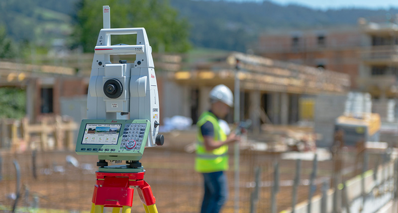
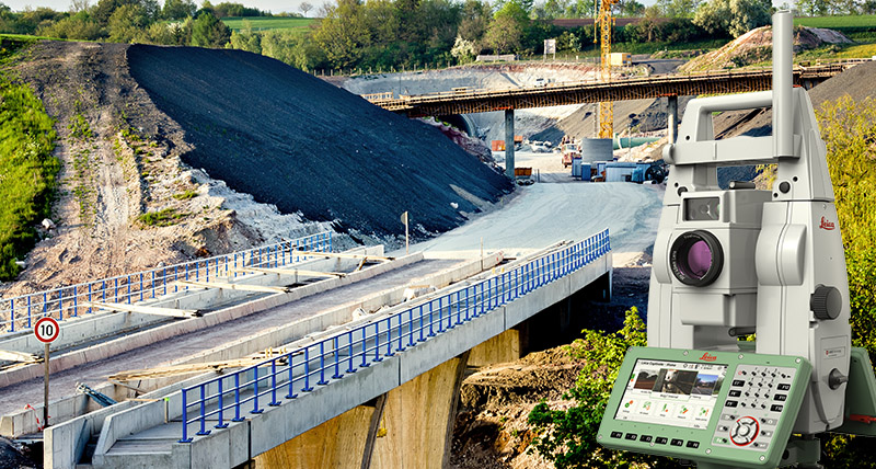
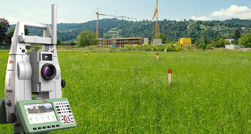
Self-learning, survey-grade total station for all conditions

Read how the Leica TS16 robotic total station data was used for designing, control network set up and volume calculations.

Increased automation performance of Leica Total Stations and MultiStations with ATRplus and Leica Captivate field software.

Which total station is right for you?
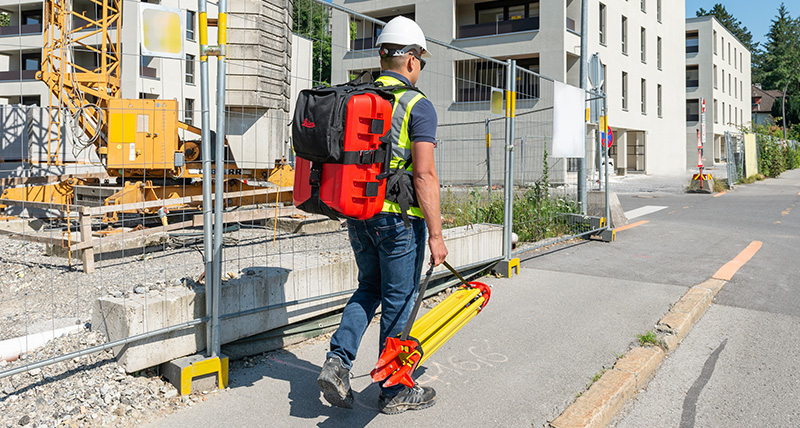
Made to face any challenge, task or project, the Leica TS16 automated total station will reliably support you and deliver accurate data when and where you need it. With the engaging Leica Captivate field software, paired with the self-learning ATRplus for automatic target recognition under any environmental circumstance, the TS16 can tackle every task with ease.
When to use the Leica TS16:
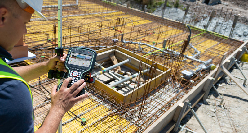
AutoHeight is a feature of the TS16 that helps you get your instrument height with a simple press of a button. This way you can reduce human error, forget about using a tape and always trust the instrument height you measured. Focus on your work and be done with the setup of your total station in the blink of an eye.
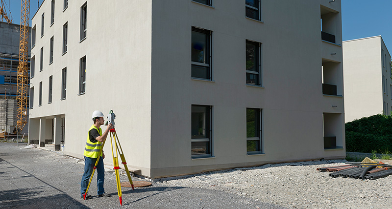
In order to always know where your instruments are in the field, you might consider adding LOC8. It not only doubles up as an excellent tracking and fleet management tool; it is also an excellent theft deterrence solution. LOC8 gives you the ability to remotely lock and unlock total stations with just a click of a button through your app or web account.
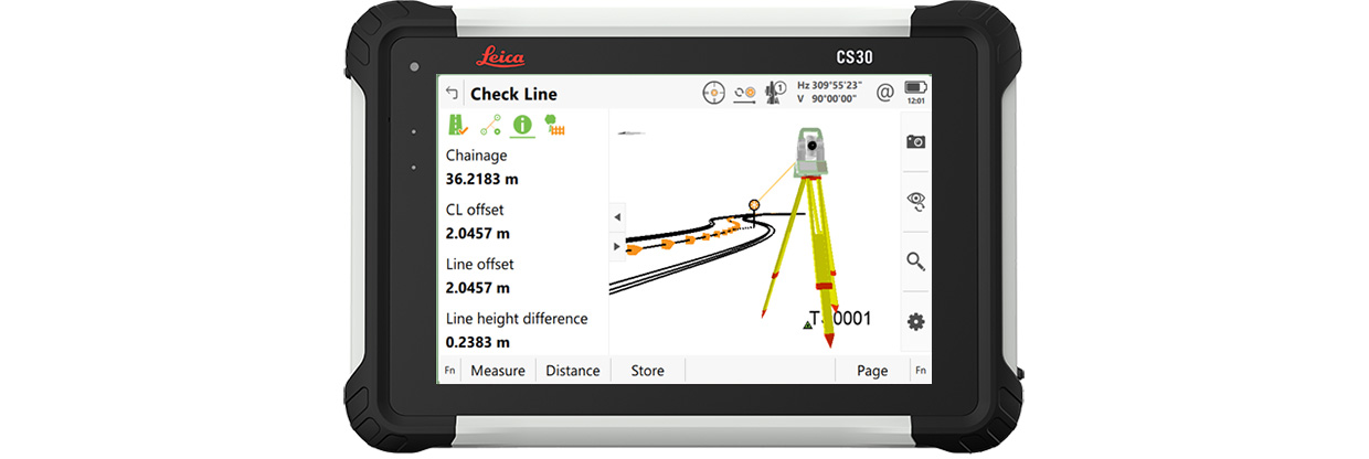
Leica TS16 comes optionally with DynamicLock – you can move and focus on your work and safety without having to stand and wait for the instrument to lock onto the target:
Leica iCON pave asphalt helps crews place asphalt to the correct line and level without stringlines. The 3D machine control system uses total stations and sensors to guide the screed in real time, supporting consistent thickness and smoother surfaces across varying site conditions.
Leica iCON pave asphalt helps crews place asphalt to the correct line and level without stringlines. The 3D machine control system uses total stations and sensors to...
Leica iCON pave makes concrete paving faster, smarter, and more precise by eliminating stringlines and enabling continuous paving with features like automatic leapfrogging and smart total station management. Whether on highways, airports, or complex urban projects, the system adapts seamlessly to any jobsite using flexible sensor setups and a simple, user-friendly interface.
Leica iCON pave makes concrete paving faster, smarter, and more precise by eliminating stringlines and enabling continuous paving with features like automatic...
Leica iCON pave milling solution controls depth and slope directly from a 3D design model, helping operators mill to the correct level without manual marking or adjustments. This reduces over-milling, avoids the copying effect, and delivers a smooth, even surface ready for paving.
Leica iCON pave milling solution controls depth and slope directly from a 3D design model, helping operators mill to the correct level without manual marking or...