Leica DS4000 Utility Detection Radar
See more, Reach deeper

Beneath the ground lies a tangled network of cables and pipes. As urban spaces – and the ground beneath them – grow more congested, advanced underground detection systems have become essential for reducing risk before breaking ground.
By integrating the patented Equalised Scrambling Technology (EsT), DS4000 detects underground utilities more clearly at both shallow and deeper levels, revealing all potential threats and difficultly seen underground objects such as fibre optic cables.
See more, Reach deeper
The Leica DS4000 Utility Detection Radar can identify underground assets up to 60% deeper than traditional systems, helping teams work more efficiently, confidently, and safely.
Accurate data and reduced risk
With the DS4000, surveyors can deliver accurate data in complex environments thanks to EsT patented technology, which extends the detection range. Construction and utilities teams can reduce risk, avoid costly setbacks during excavation, and keep their timelines on track.
Simplify your detection workflow
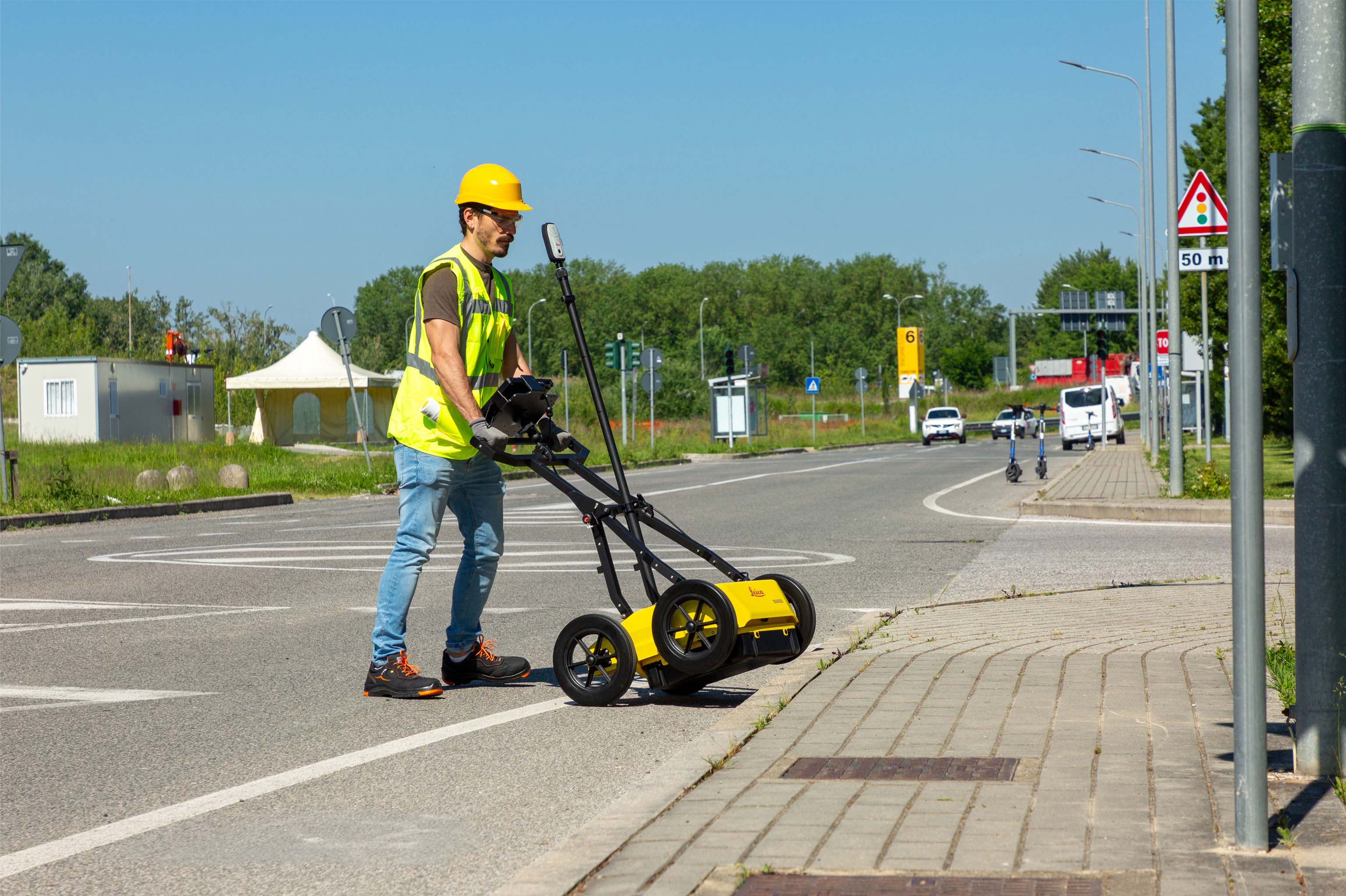
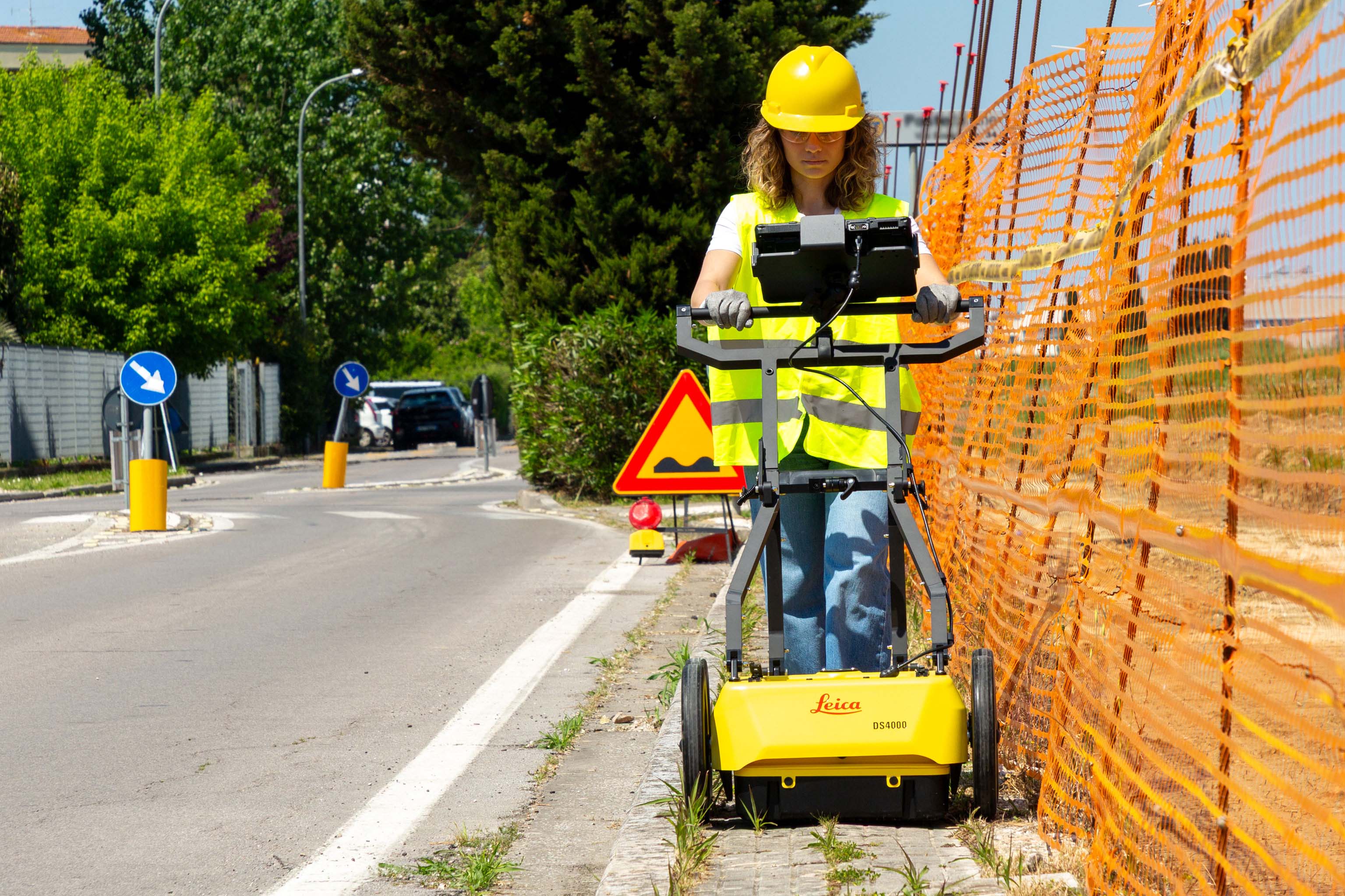
Perfect to perform across multiple urban environments, DS4000 boasts a compact and lightweight design that allows for single-user deployment. “Quick Scan Mode” streamlines field operations, saving time and reducing costs.
No-limit to data collection and easy management.
DS4000 employs the latest software technology solutions: uMap field software for fast data collection and easy management and IQMaps post-processing software for advanced analysis.
DS4000 Accessories
- External positioning support for mounting GPS/GNSS or Total Station
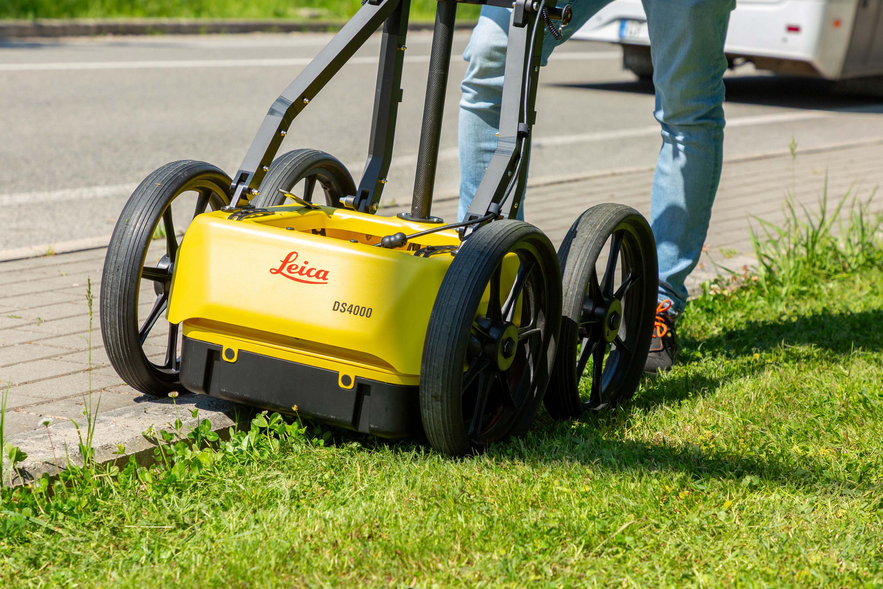
- Off-road wheels designed for reliable performance on challenging terrains
- Hard shipping box for safe transportation
Designed to perform

Lightweight (20 kg | 44 lb), modular and compact design for effortless data collection.
Foldable handlebar for easy deployment and storage of the system.
The height-adjustable antenna mounting system easily overcomes obstacles.
Hot swap technology for power supply enables uninterrupted data acquisition.
Key Benefits
See more and reach deeper with an extended detection range.
Easy detection workflow with the Quick Scan mode and on-site reports.
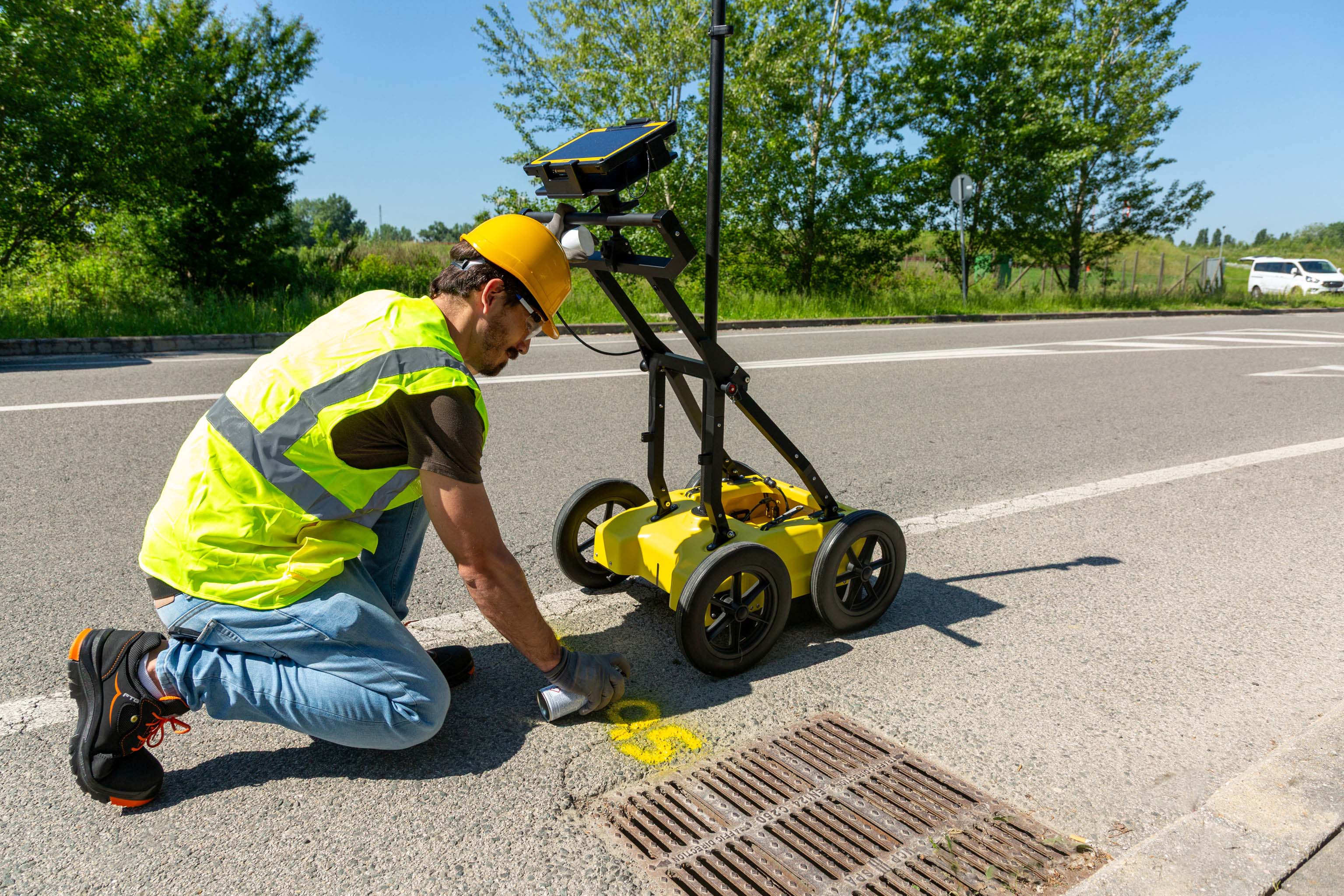
Real time on-site marking and digitalization of detected anomalies.
Optimal field performance with easy polarization switch (HH and VV) and hot swap technology for power supply.

Detection and underground mapping solution
Combined with the powerful and rugged Leica CT1000 field tablet, the GG04 plus or the GPS60 smart antenna, and the DD SMART Series cable locators and transmitters, the DS4000 is part of the up-to-date Leica Geosystems detection and underground mapping portfolio to boost your on-field business making it faster and more efficient. With the combined use of IQMaps post-processing software, you will be able to perform advanced data analysis and convert radar data to CAD file.
Start today
Contact your Leica Geosystems distribution partner for more information on the Leica DS4000 and other detection solutions.
Leica Detection Campus
HxGN SmartNet
HxGN SmartNet은 전세계 4000개가 넘는 기준국의 믿을 수 있는 GNSS 데이터를 제공합니다.
HxGN SmartNet은 전세계 4000개가 넘는 기준국의 믿을 수 있는 GNSS 데이터를 제공합니다.


