What is the Partner Network?
The Leica Geosystems Partner Network (GPN) is designed for developers, innovators, and solution providers who want to create software or integrated systems that connect with Leica Geosystems precision measurement and positioning instruments.
Whether you’re looking to remotely control devices, access real-time data streams, or embed your applications directly on Leica Geosystems hardware, we give you the tools to make it happen.
What can you build?
You can create and market solutions integrated with a wide range of Leica Geosystems instruments and platforms. Whether it’s surveying, construction, monitoring, or geospatial data management – your applications can unlock new value across industries.
Instruments and services you can integrate with your software
The following products have development partner support:
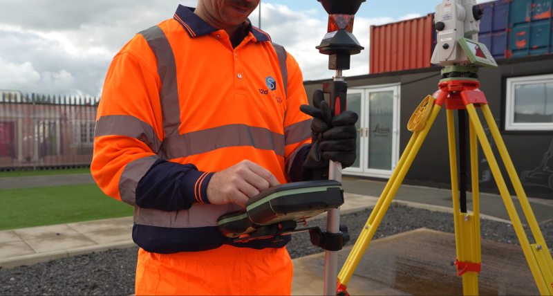
- Leica Total Stations – Remotely access measurements and feed millimetre‑accurate data straight into your application.
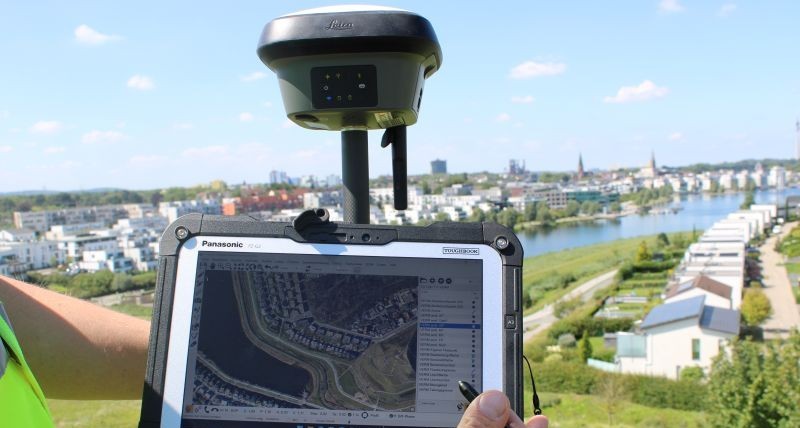
- Leica GNSS – Control the GNSS receiver and pull high‑accuracy position data, giving your application precise, reliable geospatial data.
- Leica Zeno – Feed corrected high‑accuracy positions straight into your app through a simple, developer‑friendly interface.
- Leica BLK360 – Get direct control of scanning and data capture through a clean API, letting your app retrieve point clouds and images for fast, automated reality‑capture workflows.
- Leica BLK ARC – Programmatically control autonomous scanning via a Python‑based API, giving your app direct access to automated data capture for advanced inspection and mapping workflows.
- Leica DISTO – Trigger laser measurements and stream precise distance data into your app through a simple C# interface for fast, accurate digital capture.
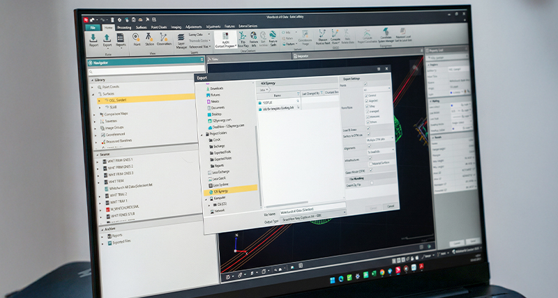
- Hexagon GeoCloud – Securely exchange and manage geospatial files directly from your app via the GeoCloud Drive SDK, enabling seamless sharing across platforms.
Ready to learn more? Register interest with Leica Geosystems Partner Network (GPN)


 Boost your market impact
 Collaborate with industry experts
 Access the tools you need
 Join a trusted global ecosystem


