


Padroneggia le tue competenze per i progetti infrastrutturali


Build smarter solutions with Leica Geosystems technologies

What is the Partner Network?
The Leica Geosystems Partner Network (GPN) is designed for developers, innovators, and solution providers who want to create software or integrated systems that connect with Leica Geosystems precision measurement and positioning instruments.
Whether you’re looking to remotely control devices, access real-time data streams, or embed your applications directly on Leica Geosystems hardware, we give you the tools to make it happen.
What can you build?
You can create and market solutions integrated with a wide range of Leica Geosystems instruments and platforms. Whether it’s surveying, construction, monitoring, or geospatial data management – your applications can unlock new value across industries.
The following products have development partner support:
 Boost your market impact
Aligning your product with Leica Geosystems enhances its reliability, credibility, and visibility — helping you stand out, build trust, and grow faster.
 Collaborate with industry experts
You’ll work directly with Leica Geosystems product teams for technical support, integration help, and best-practice guidance throughout development.
 Access the tools you need
Get SDKs, APIs, documentation, and embedded development environments to create robust, high-performing integrations.
 Join a trusted global ecosystem
Leverage Leica Geosystem’s international reputation to expand your reach and gain traction with new customers and industries.


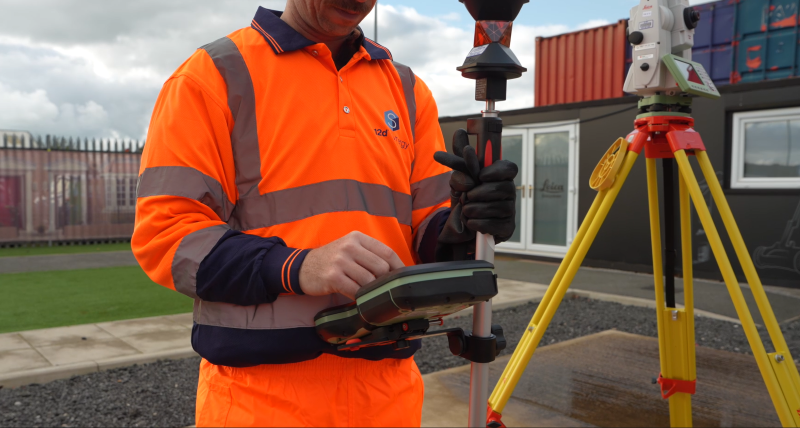
Fare misure non è mai stato così semplice come con le stazioni totali Leica Geosystems.

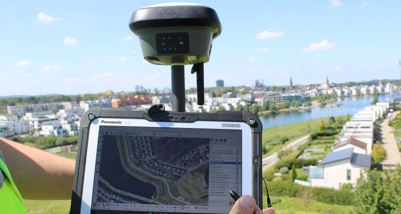
Leica Geosystems offre la soluzione ideale per ogni applicazione GNSS. Potente tecnologia GNSS per un'accuratezza impareggiabile.

Precisione nel movimento con la tecnologia di compensazione dell'inclinazione.

Il scanner laser per immagini più piccolo e facile da usare al mondo.

Misuratori Laser Leica DISTO ™ e LINO, strumenti di livellamento automatico di linee e punti. Disponibili con tecnologia raggio laser verde e misurazione punto a punto