


Master your expertise for infrastructure projects


Rekisteröidy / Kirjaudu sisään

Rekisteröidy / Kirjaudu sisään
Rekisteröidy / Kirjaudu sisään
Rekisteröidy / Kirjaudu sisään
Rekisteröidy / Kirjaudu sisään

Rekisteröidy / Kirjaudu sisään
Rekisteröidy / Kirjaudu sisään
Rekisteröidy / Kirjaudu sisään
Rekisteröidy / Kirjaudu sisään
Rekisteröidy / Kirjaudu sisään


Rekisteröidy / Kirjaudu sisään
Rekisteröidy / Kirjaudu sisään
Rekisteröidy / Kirjaudu sisään
Rekisteröidy / Kirjaudu sisään
Build smarter solutions with Leica Geosystems technologies

What is the Partner Network?
The Leica Geosystems Partner Network (GPN) is designed for developers, innovators, and solution providers who want to create software or integrated systems that connect with Leica Geosystems precision measurement and positioning instruments.
Whether you’re looking to remotely control devices, access real-time data streams, or embed your applications directly on Leica Geosystems hardware, we give you the tools to make it happen.
What can you build?
You can create and market solutions integrated with a wide range of Leica Geosystems instruments and platforms. Whether it’s surveying, construction, monitoring, or geospatial data management – your applications can unlock new value across industries.
The following products have development partner support:
 Boost your market impact
Aligning your product with Leica Geosystems enhances its reliability, credibility, and visibility — helping you stand out, build trust, and grow faster.
 Collaborate with industry experts
You’ll work directly with Leica Geosystems product teams for technical support, integration help, and best-practice guidance throughout development.
 Access the tools you need
Get SDKs, APIs, documentation, and embedded development environments to create robust, high-performing integrations.
 Join a trusted global ecosystem
Leverage Leica Geosystem’s international reputation to expand your reach and gain traction with new customers and industries.

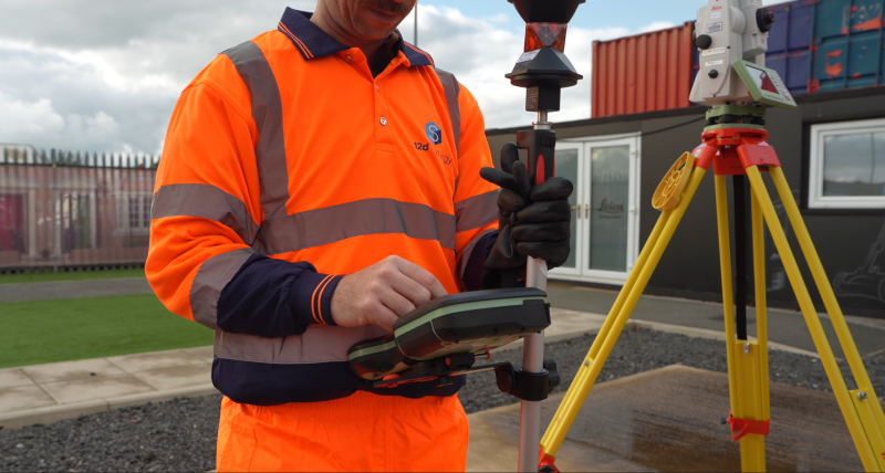
Mittaaminen ei ole ollut koskaan yhtä helppoa kuin Leica Geosystemsin takymetreillä.

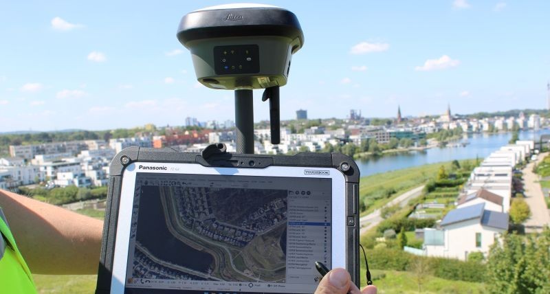
Leica Geosystems tarjoaa ihanteellisen järjestelmän kaikkiin GNSS-sovelluksiin. Tehokas GNSS-tekniikka tarjoaa ylivertaista tarkkuutta.

Kaltevuuskompensointi parantaa tarkkuutta liikkeen aikana.

Maailman pienin ja helppokäyttöisin kuvaava laserskanneri.

Leica DISTO™ & LINO -lasermittari ja automaattiset viiva- ja pistetasausvälineet. Saatavilla vihreällä lasertekniikalla ja pisteestä-pisteeseen 3D-mittauksella.