Leica Cyclone FIELD 360
Pre-registra e allinea automaticamente le scansioni direttamente in campo

Come parte della Reality Capture Leica Geosystems 3D Solution, il Leica Cyclone Field 360 mobile permette di collegare le scansioni dati 3D acquisite direttamente in campo con l’ RTC360 RTC360 scanner laser o BLK360 image laser scanner mentre la registrazione di dati finale avviene con Leica Cyclone REGISTER 360 ,il software per post-elaborare in ufficio.
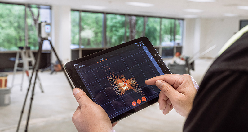
In sito l'utente può acquisire, registrare ed esaminare automaticamente i dati di scansione e le immagini. L'interfaccia utente combina la facile gestione di calcoli complessi con una guida grafica per l'utente che offre un'esperienza utente straordinaria anche per gli utenti meno esperti.
Visualizza
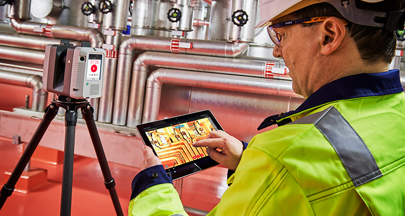
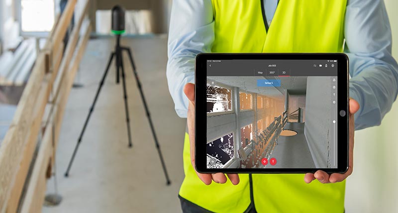
Come parte integrante della soluzione Reality Capture 360 di Leica Geosystems, l'app Leica Cyclone FIELD 360 ad elevate prestazioni rappresenta l'abbinamento ideale sul cantiere per il laser scanner 3D Leica RTC360 e l'imaging laser scanner Leica BLK360. Grazie all’interfaccia utente intuitiva ed al controllo remoto dello scanner, la navigazione dei dati acquisiti è semplice per tutti gli utenti. L’Edge Computing Technology a bordo dello scanner, permette di visualizzare sul tablet immagini e nuvole di punti direttamente in campo.
Controlla
Aggiungi
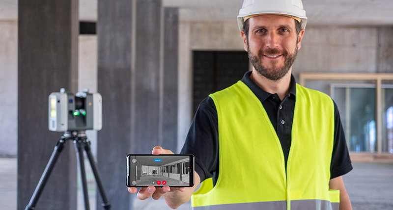
Per migliorare il processo di registrazione in ufficio con Leica Cyclone REGISTER 360 aumentare il valore dei dati 3D ed aggiungere informazioni, Leica Cyclone FIELD 360 ti permette direttamente in campo di inserire misure, video, immagini, testo o note vocali direttamente sulle geometrie della nuvola di punti utilizzando il tablet o smartphone.
Ottieni l'App oggi!
L'app per dispositivi mobili Cyclone FIELD 360 può essere scaricata gratuitamente. Per attivare Cyclone FIELD 360 è necessaria una licenza Cyclone REGISTER o Cyclone REGISTER 360 valida. Download the Cyclone FIELD 360 app dall'App Storee daGoogle Play store.
Data Sheets
Leica ScanStation P30/P40 - Archaeology & Heritage
Leica ScanStation P30/P40 - Architecture, Buildings & BIM
Leica ScanStation P30/P40 - Civil Infrastructure
Leica ScanStation P30/P40 - Forensics
Leica ScanStation P30/P40 - Plant & Ships
Leica ScanStation P50
Technical Specifications
Leica Cyclone
Download Leica Cyclone FIELD 360
Download Cyclone FIELD 360 from the App Store
Download Cyclone FIELD 360 from Google Play
GIM International – 3D laser scanner with automatic in-field pre-registration
Global Survey – Laser scanner comparison chart
IMAGINiT Civil Solutions Blog – Introducing the RTC360
LiDAR News – A laser scanner equipped with edge computing technology
Plowman Craven – Leica Geosystems launches RTC360 and praises Plowman Craven involvement
SPAR3D - RTC360 scanner registers your point clouds automatically, in real time, in the field


