Leica ScanStation P40/P30 — решение для лазерного 3D-сканирования в высоком разрешении
Интегрированное решение для сложных задач лазерного 3D-сканирования, отличающееся непревзойденной скоростью, точностью и дальностью

Лазерные 3D-сканеры Leica ScanStation серии P идеально справляются с захватом 3D-геометрии гражданской инфраструктуры, созданием моделей уже возведенных крупных промышленных комплексов, реконструкцией места преступления и генерацией 3D-данных для интеграции с информационной моделью здания (BIM).
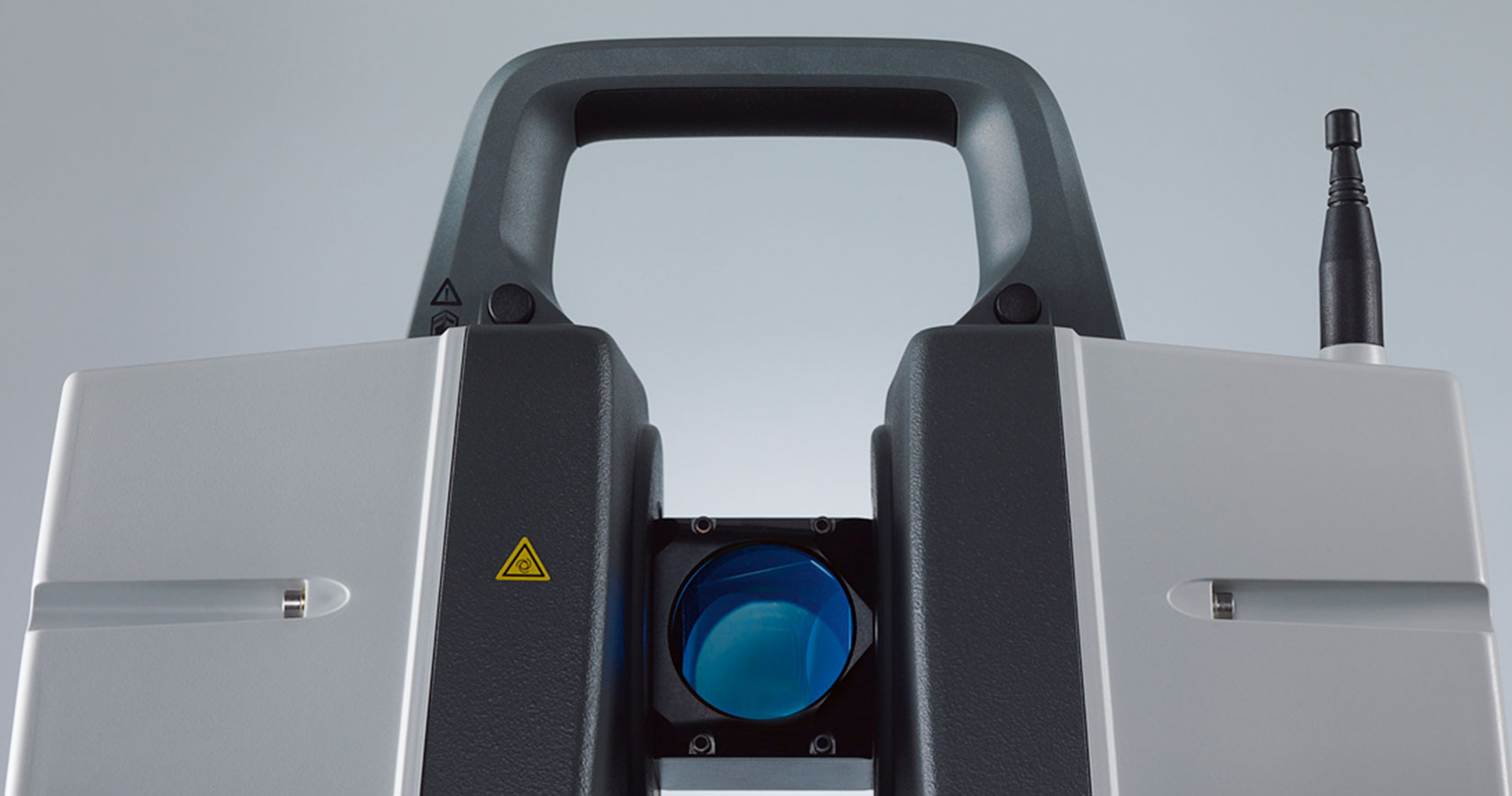
Leica ScanStation P40 поставляет 3D-данные высочайшего качества и создает изображения в формате HDR со скоростью 1 млн точек в секунду на расстояниях до 270 м. Непревзойденная дальность действия и высочайшая угловая точность при низком шуме, а также двухосевая компенсация на уровне профессиональных геодезических устройств позволяют создавать высокодетализированные цветные 3D-облака точек, максимально точно соотносящиеся с реальными объектами.
High performance under harsh conditions
Reducing downtime, the extremely durable 3D laser scanners perform even under the toughest environmental conditions, such as extreme temperatures ranging from – 20°C to + 50°C and comply with the IP54 rating for dust and water resistance.
Complete scanning solution
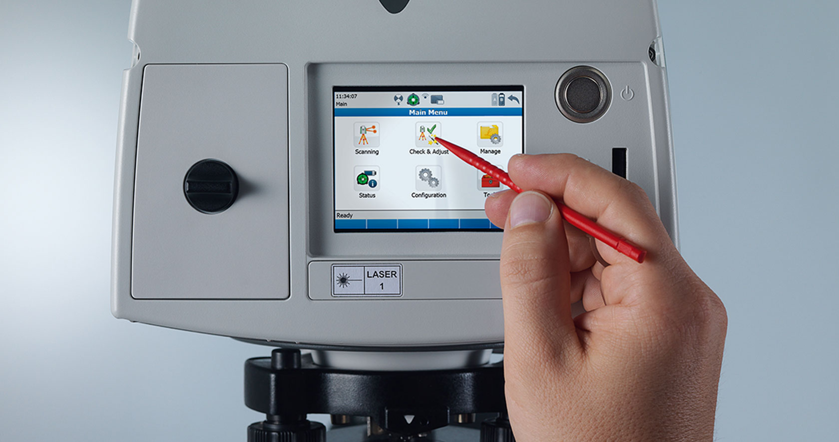
Leica Geosystems offers the Leica ScanStation portfolio as an integrated part of a complete scanning solution including hardware, software, service, training and support. 3D laser scanner data can be processed in the industry’s leading 3D point cloud software suite, which consists of Leica Cyclone stand-alone software, Leica CloudWorx plug-in tools for CAD systems and the free Leica TruView.
ScanStation P30/P40 delivers
- Highest quality 3D data and HDR imaging
- Extremely high speed scan rate of 1 mio points per second
- Ranges of up to 270 m
- Low range noise
- Survey-grade dual-axis compensation
- Highly detailed 3D colour point clouds mapped in realistic clarity
Советы экспертов
Четыре видеоурока для начала работы с прибором ScanStation P40
Как давно вы последний раз калибровали свой прибор серии ScanStation P? Зачем вам нужен бронзовый или серебряный сертификат?
Функция двойного сканирования для лазерных сканеров серии ScanStation P
Истории клиентов
Digitalising from planning to execution (Оцифровка: от планирования к исполнению)
How Johnson's County is recreating crime scenes with laser scanning (Воссоздание преступления с помощью лазерного сканирования в округе Джонсон)
Revolutionising smart factories with reality capture (Использование захвата реальности на умных заводах)


