


Software


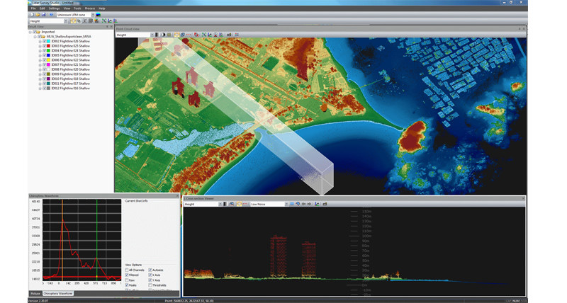
Leica HxMap
High-performance post-processing workflow for airborne sensors.

Leica XPro
High-efficiency production workflow for Leica ADS.
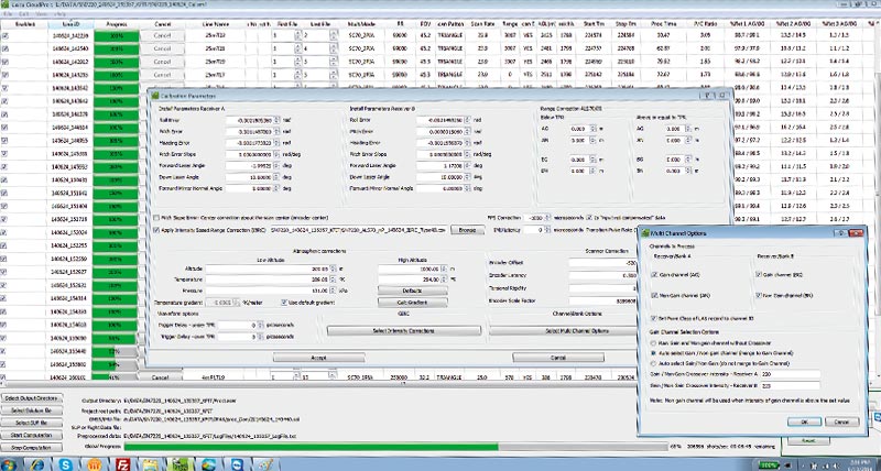
Leica CloudPro
Highly efficient point cloud post processor for Leica ALS.
Leica LiDAR Survey Studio
Leica LiDAR Survey Studio (LSS) post-processing software suite represents a major step in sensor fusion and increased post-processing productivity.

Leica MissionPro
Advanced 3D mission planning software for all sensors systems.
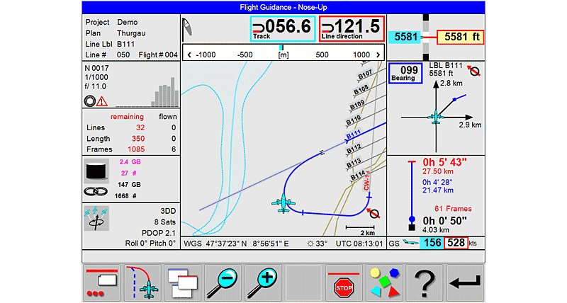
Leica FlightPro
Multisensor control software for all sensor systems.

Airborne LiDAR Mapping Webinar
Leica TerrainMapper: New generation LiDAR technology for mapping of complex terrain
Leica TerrainMapper: New generation LiDAR technology for mapping of complex terrain

Свяжитесь с Leica Geosystems
Узнайте контакты компании Leica Geosystems по вопросам продаж, поддержки и технического обслуживания.
Узнайте контакты компании Leica Geosystems по вопросам продаж, поддержки и технического обслуживания.