Land surveying

Precision in every dimension: laying the foundations for success in your surveying projects

Control survey

A survey control network provides a precise framework of fixed reference points, forming the backbone for accurate positioning and measurements on a project site. This foundation ensures that all subsequent surveys maintain consistency, accuracy, and traceability. By delivering reliable coordinates and elevations, control networks:

  • Prevent cumulative errors
  • Align structures with design specifications
  • Facilitate seamless integration across project phases

Surveyors play a critical role in establishing, verifying, and maintaining these networks, ensuring compliance with engineering tolerances and preserving project integrity. The right software and sensors from Leica Geosystems help them achieve precise control networks more efficiently.


Topographical survey

Topographical surveys are foundational for applications like land development, engineering, conservation planning, and environmental assessments. These surveys:

  • Provide accurate mapping of terrain, contours and features
  • Enable architects, engineers, and planners to design projects that optimise land use while mitigating risks, like flooding or environmental harm
  • Support efficient planning and sustainable development Experience high-accuracy topographic surveying with our field-to-finish solutions.

Experience high-accuracy topographic surveying with our field-to-finish solutions.


Stakeout and check

A stakeout and check survey translates design plans into the physical world by accurately placing markers at designated locations and verifying them during construction. This process:

  • Ensures structures, utilities, and features are positioned correctly
  • Prevents misalignments, costly rework, and regulatory issues
  • Bridges the gap between digital design and physical construction

Surveyors and their precision equipment are vital for stakeout and check tasks. By interpreting design data and accurately positioning and verifying markers, they safeguard project execution and consistency. Learn more about how Leica Geosystems’ advanced surveying technology can enhance your stakeout and check work.


As-built surveys

An as-built survey is a precise, on-site measurement process that captures the exact dimensions, positions, and conditions of a completed structure or installation. This verifies that it meets design intent and regulatory standards. Surveyors align on-the-ground measurements with original designs to detect even subtle deviations that could lead to costly errors or compliance issues. These surveys:

  • Validate construction accuracy
  • Identify discrepancies early for fewer downstream impacts
  • Provide critical data for future maintenance, renovations, or expansion

This ensures transparency, minimises risks of expensive corrections, and serves as a source of as-built truth going forward. Learn how our survey solutions can enhance your as-built verification process with advanced technology.


Cadastral and boundary survey

Cadastral and boundary surveys are crucial for defining property lines, ensuring clear ownership, and resolving boundary disputes. These surveys are used to:

  • Create land subdivisions, re-establish boundaries, and facilitate property title transfers
  • Support property developers and landowners to make informed decisions, comply with regulations, and plan projects efficiently
  • Prevent long-term issues related to encroachments or drainage

Explore how our advanced solutions can elevate the precision and efficiency of your cadastral and boundary survey projects.


Get in contact with us for more information about our Land Surveying portfolio.


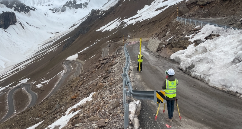
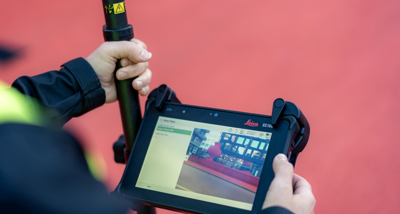
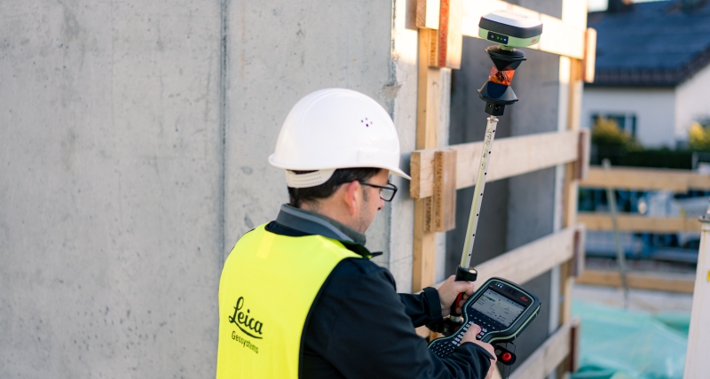
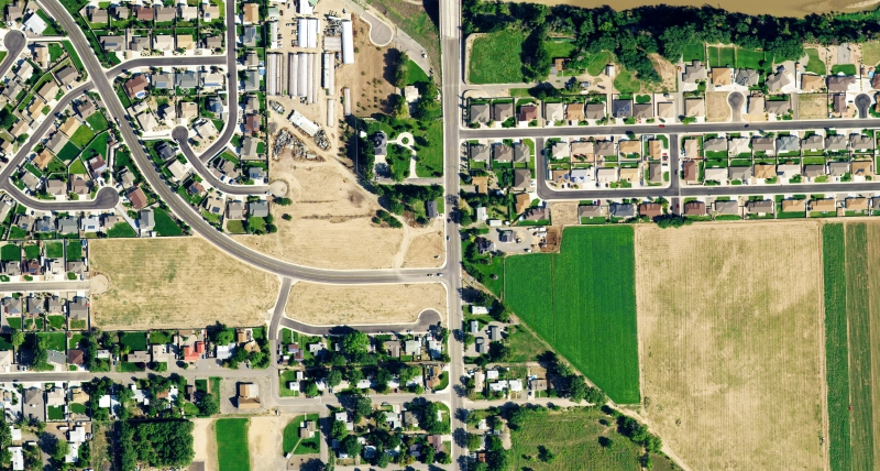
Il tuo partner per il rilievo

Solo Leica Geosystems possiede 200 anni di esperienza nel mondo della topografia. Scopri come possiamo assisterti con le nostre soluzioni e i nostri servizi, grazie all'ampia gamma di prodotti diversificati.

Espandi il tuo business

Scopri in che modo l'utilizzo della scansione e delle nuove tecnologie possono aiutarti a creare nuove opportunità, a competere in modo più efficace e a migliorare la produttività.

Surveying Solutions

Regardless of how complex your task is, a solution is available within our diverse measuring, positioning and visualising portfolio to help you collaborate, be more efficient and succeed.

Migliora le tue abilità

Acquisire abilità per essere più efficienti e reagire alle opportunità di business. Libera il tuo potenziale per offrire ai tuoi clienti servizi migliori, più specializzati e più rapidi.