


Budownictwo


Laing O'Rourke - Centre of Excellence for Modern Construction
Laing O’Rourke implement laser scanning digital verification process when producing prefabricated concrete panels.
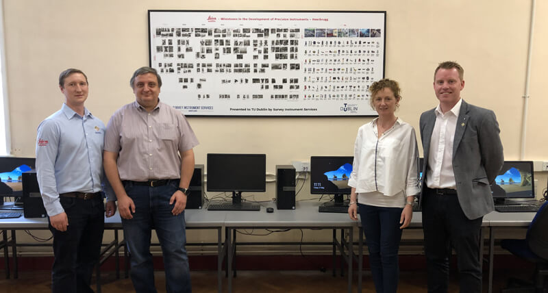
Speaking with the Leaders in the Irish Survey Industry
John Kerrigan, Country Manager in Ireland for Leica Geosystems, is on a mission to speak to leaders within the survey industry. At the top of his list was Senior Lecturer at the Technological University (TU) Dublin, Dr. Audrey Martin.
Building the large documentary facility.
Bouygues Construction is involved in the project to build the “Grand Equipment Documentary”, a large documentary facility.
Embracing The No Strings Approach | Hanham & Philp Contractors
Hanham & Philp Contractors are proud of their rich history.
Bringing BIM4ALL
A BIM firm in the Netherlands brings added values to construction customers.
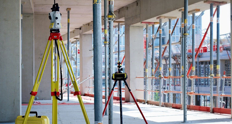
iCON Robotic Total Station and Build Software Convince with Ease of Use
Executing construction layout tasks much faster, simpler and more accurately in the United Kingdom

Beyond Reality. Digital Reality’s Next Frontier
Hexagon’s Geosystems Division President Juergen Dold presented ideas and case studies where the entire planet can be digitised at HxGN LIVE in Las Vegas, USA

All set for modern living design
Digitalising construction layout for luxury residential single- and multi-family houses in the United Kingdom

Leveraging visual documentation to avoid rework
How a construction pioneer remains ahead of its time using Multivista’s visual documentation service to capture construction milestones and regular progress in the United States
Tyczenie złożonych kształtów
Łatwiejsza praca ze złożonymi projektami architektonicznymi w Australii dzięki cyfrowemu zrobotyzowanemu tachimetrowi
Projektowanie z użyciem dokładnych pomiarów
Wizualizacja danych w łatwiejszy sposób dzięki pomiarom 3D z użyciem DISTO™ S910 w Austrii

Niezbyt zaskakujący sekret sprawnego prowadzenia firmy geodezyjnej
Po blisko 50 latach działalności firma Titcomb Associates nadal podnosi poprzeczkę w zakresie świadczenia wysokiej jakości usług pomiarowych w Stanach Zjednoczonych.
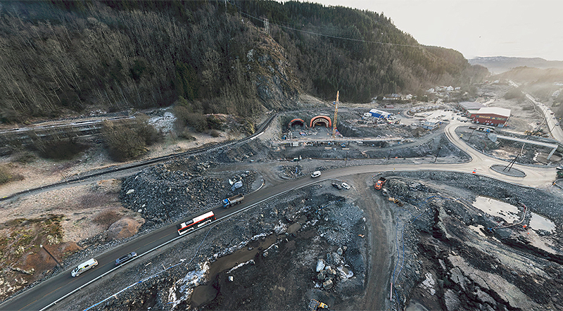
Highway construction in Norway
Using the UAV from Leica Geosystems to monitor highway construction progress, Hawkeye AS is tracking costs of mass movements, documenting progress and keeping stakeholders up-to-date.

Scan 'till you drop
Renovating a shopping centre in Australia with the MultiStation.

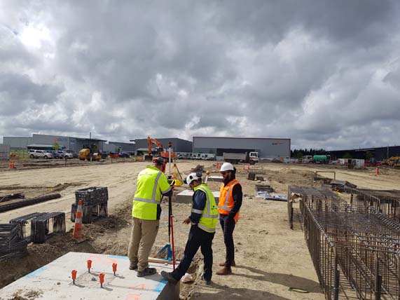
Szybkie ustalanie pozycji
Weryfikacja konstrukcji z wykorzystaniem iCON robot (USA)

Łatwe i dokładne poszerzanie zakresu budowy
Prowadzenie projektów budowlanych we Francji za pomocą iCON robot.
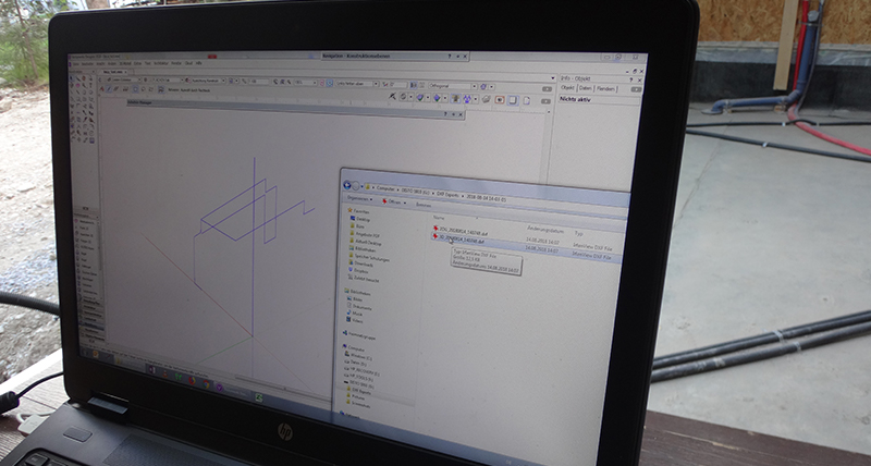
Monitorowanie terenu budowy
Korzystając z UAV Leica Geosystems, możliwe było przeprowadzenie cotygodniowego, dokładnego przeglądu stanu projektu budowlanego bez wchodzenia na teren budowy.
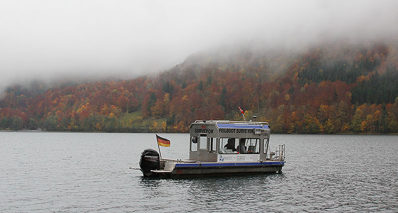
The mountain calls
Using the UAV from Leica Geosystems, IngenieurTeam GEO GmbH created the precise calculation and simulation of the actual holding capacity of a Swiss lake.
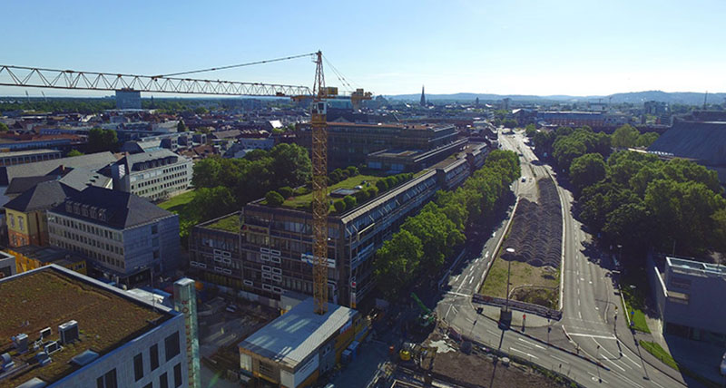
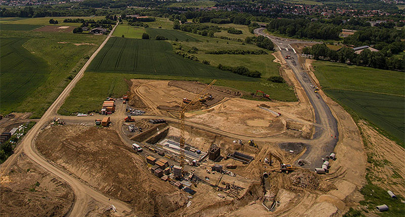
Digitising an urban construction site
Using the UAV from Leica Geosystems to monitor highway construction progress, IngenieurTeam GEO is obtaining the highest accuracy in surveying, preservation of evidence and monitoring.

Building a better future with measuring technology
Opening opportunities through vocational training, delivering drinking water and building better schools in Tanzania using Leica Geosystems’ construction tools

Kontakt z Leica Geosystems
Znajdź kontakt do Leica Geosystems w sprawie sprzedaży, wsparcia i serwisu technicznego.
Znajdź kontakt do Leica Geosystems w sprawie sprzedaży, wsparcia i serwisu technicznego.